Falmouth Bay and Helford River (2)
The Coastal footpath from Swanpool follows the top of the cliffs south to Pennance Point, and then SW to Maenporth. It offers
good views of the Bay and the coast. In September 2008, it offered views of the start of a stage of the Funchal 500 Tall Ships Regatta.
good views of the Bay and the coast. In September 2008, it offered views of the start of a stage of the Funchal 500 Tall Ships Regatta.
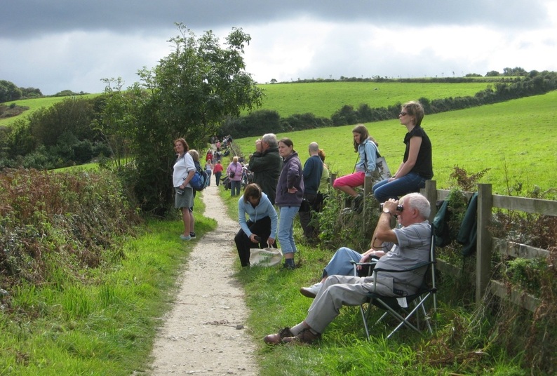
13.09.2008. Part of the footpath between Swanpool and Pennance Point.
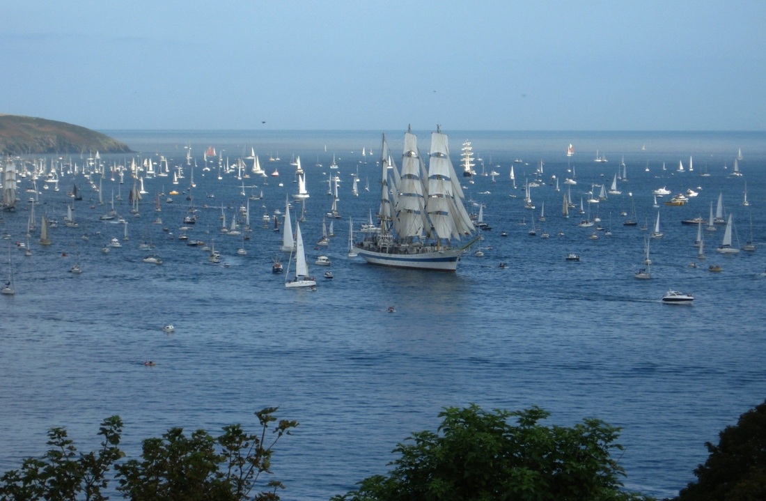
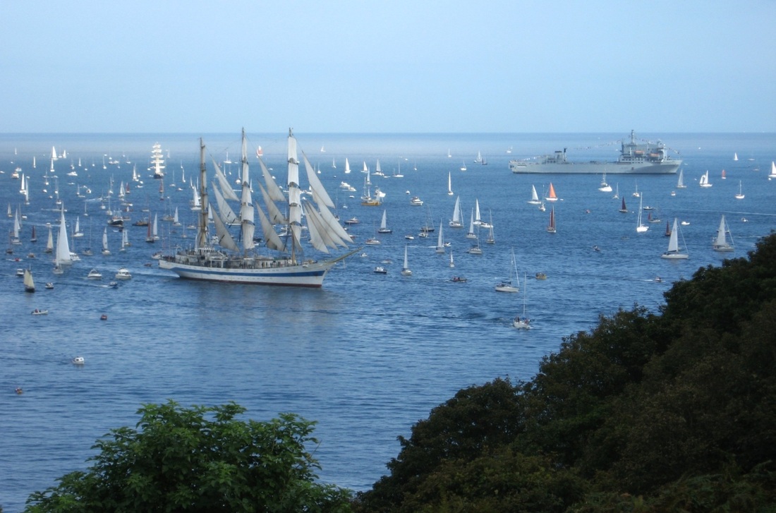
Two views of the well-known Polish Tall Ship, Dar Młodzieży, and the huge fleet of spectator craft:
|
|
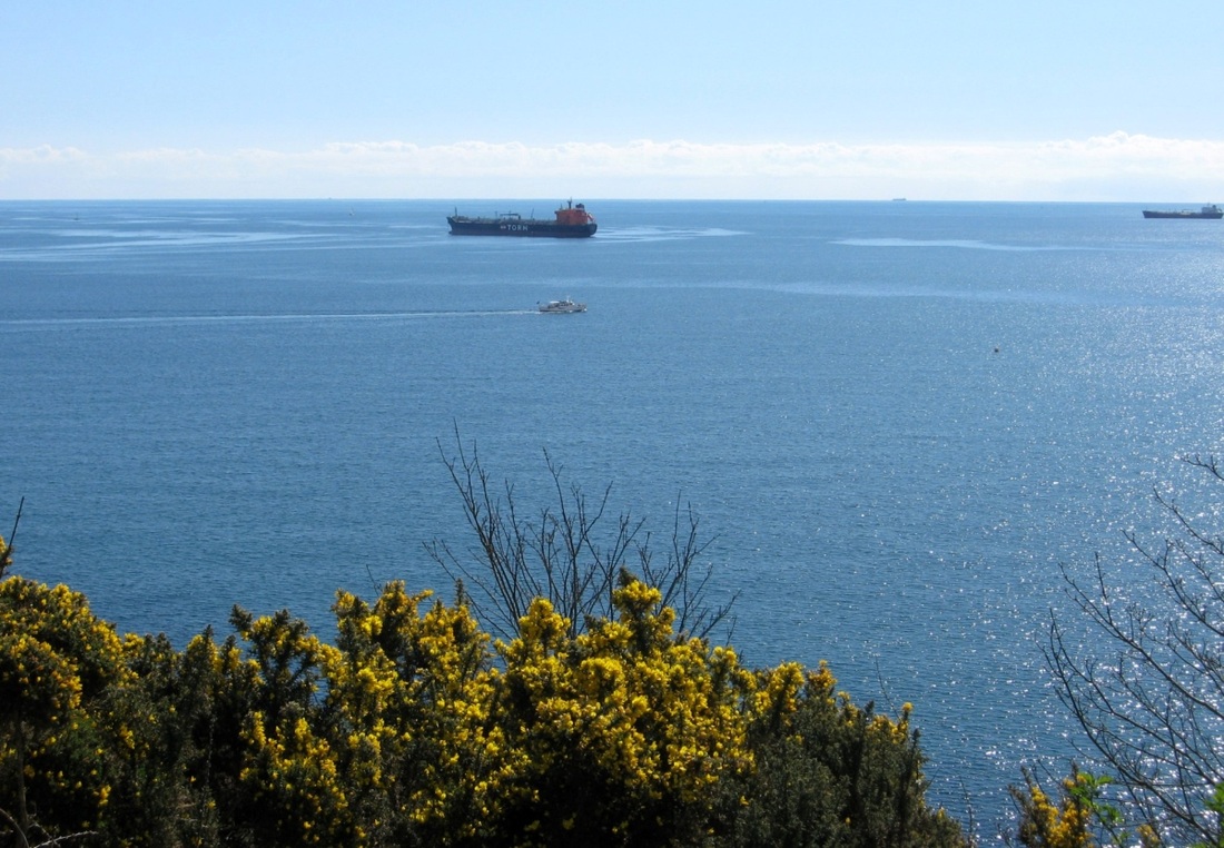
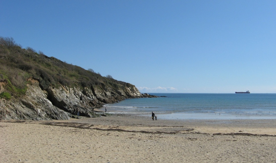
08.04.2008. Follow the footpath on past Pennance Point, and look back for another angle on the entrance to Falmouth Harbour:
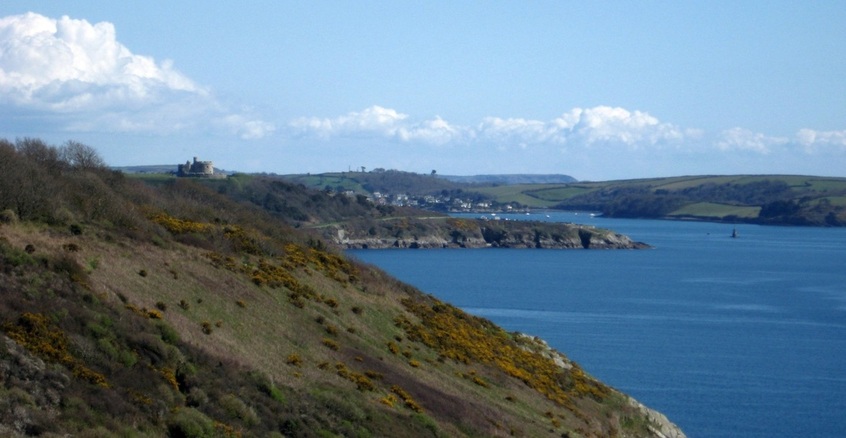
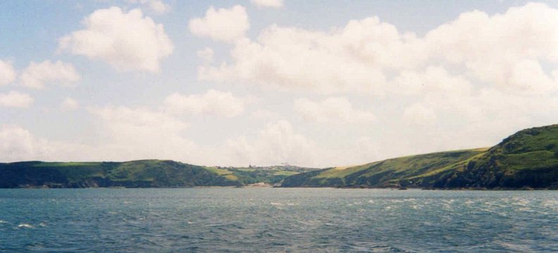
Looking NE, Pendennis Pt and Black Rock can be seen, with St Mawes behind. The most distant headland is The Dodman, just SW of Gorran Haven.
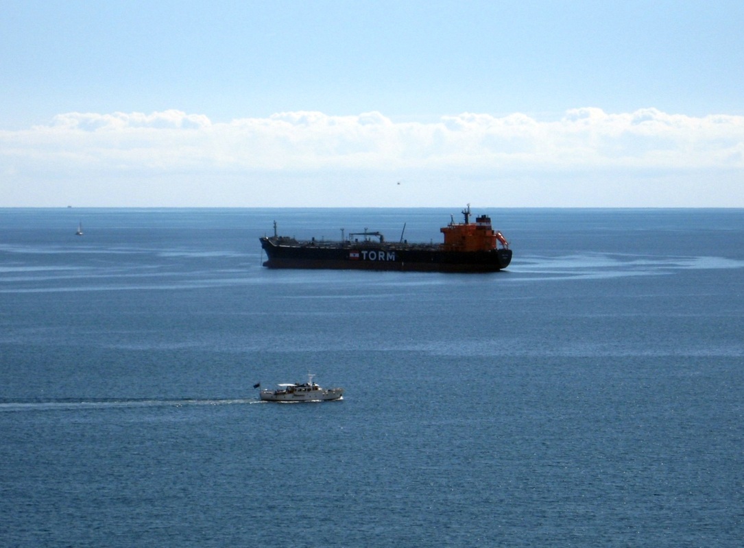
The ship is anchored; the motorboat is probably heading for Helford.
|
Parts of the coastal footpath are over 50m high.
|
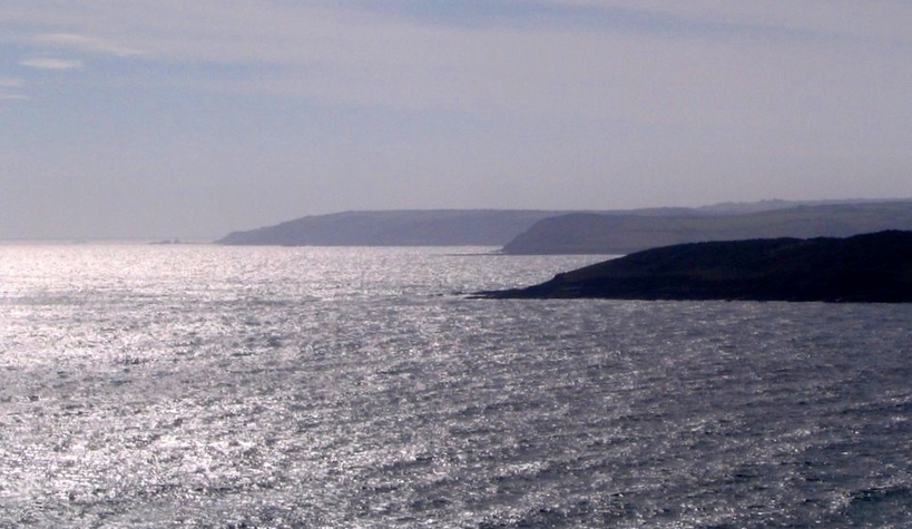
23.09.2006: Manacle Pt, Nare head/Nare Point, and Rosemullion Hd. The entrance to the Helford lies just beyod Rosemullion.
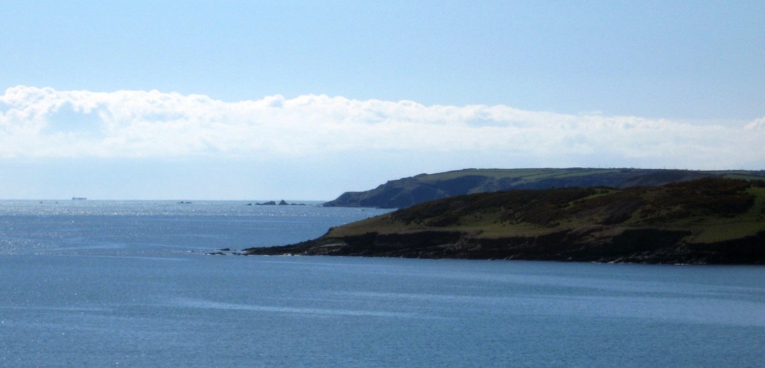
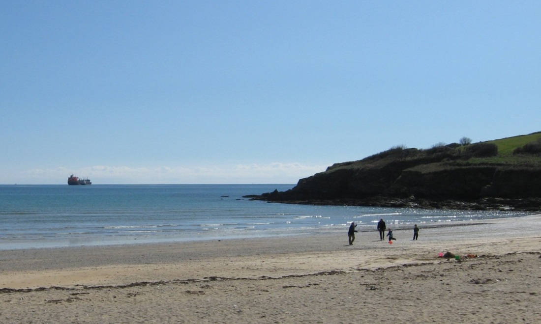
08.04.2008: Approaching Maenporth, Nare Pt disappears behind Rosemullion Hd, and the Manacles seem closer.
08.04.2008. Maenporth is generally a very sheltered beach...
|
...and popular with families. Here, though, it's early season.
|
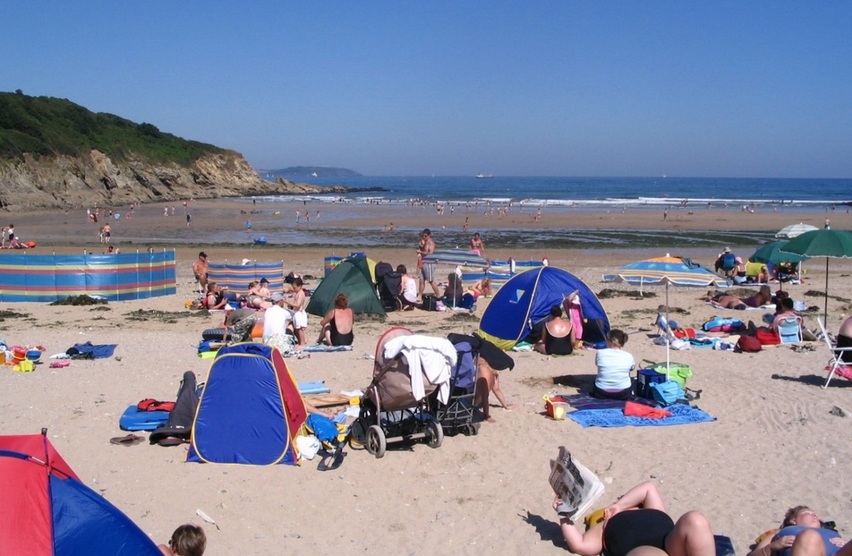
August is busier! St Anthony's lighthouse on the Roseland is seen in the distance.
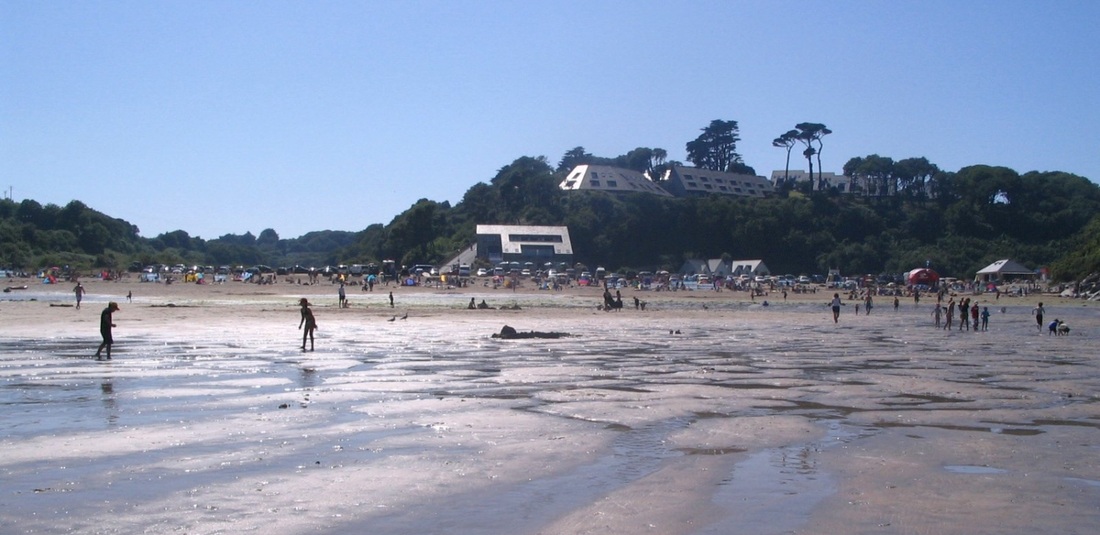
Besides the beach, rocks and stream, Maenporth offers a bar/restaurant (centre), and a beach cafe (right).
But Maenporth can get stormy in a strong east wind. The sea is unsafe for bathing, and blown sand makes the beach unusable.
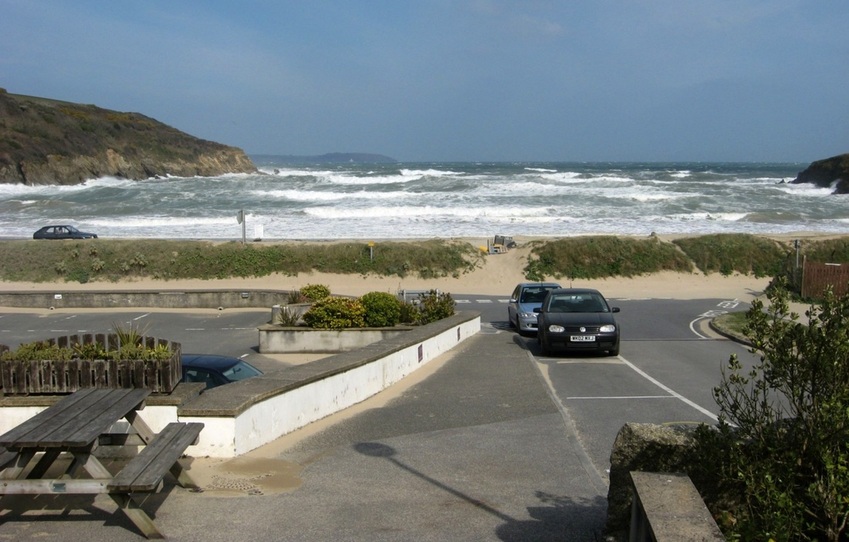
17.04.2008. A full gale from the east. The cove is full of breakers, and blown sand is covering the road on the right.
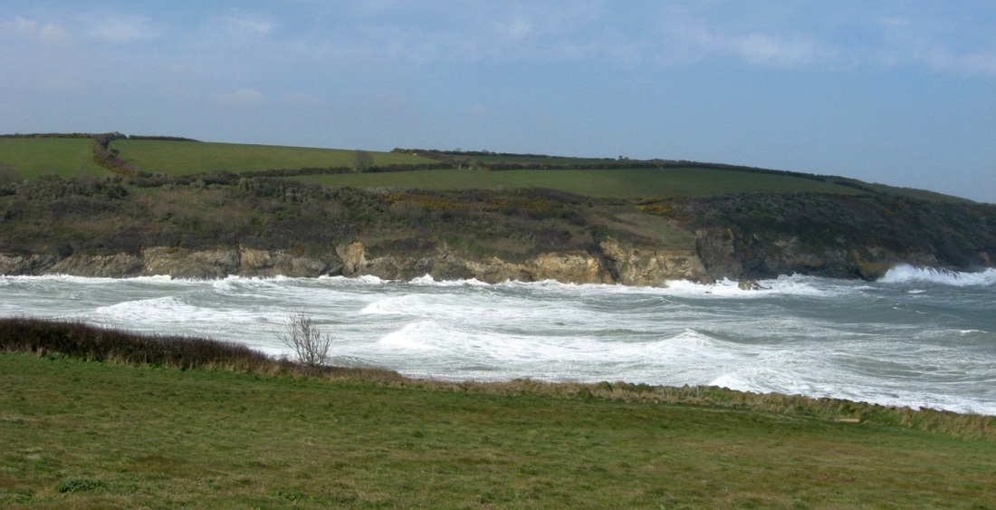
The coastal footpath leaves Maenporth on the south side of the cove...
|
Away in the distance is Pennance Point.
|
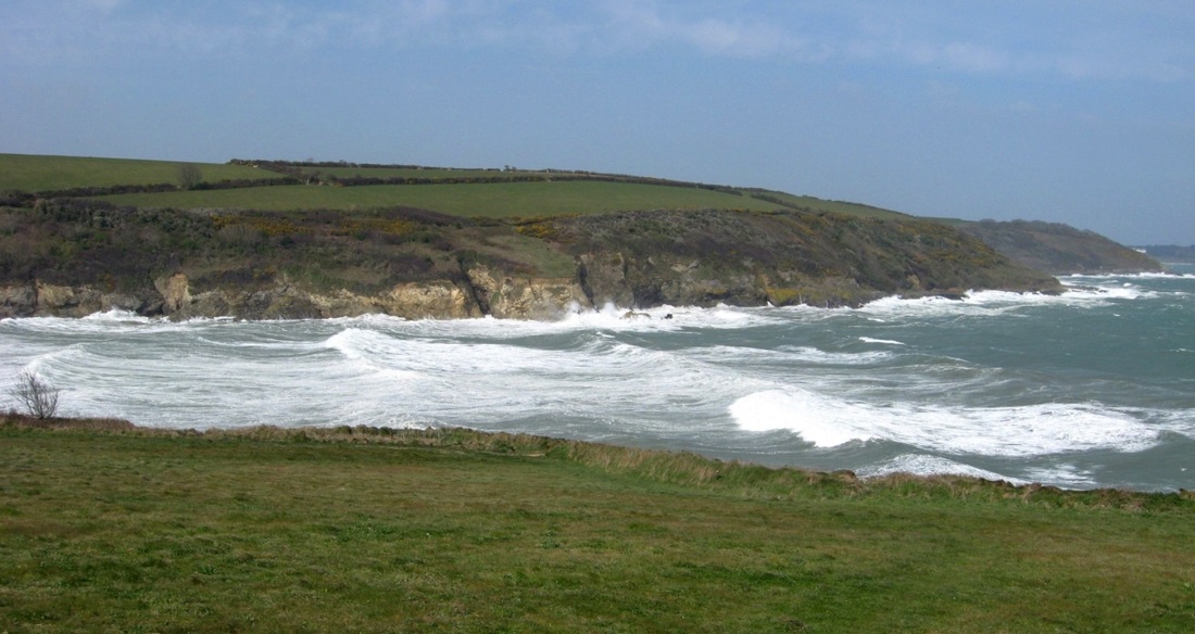
The trawler Ben Asdale hit the rocks on the north side of the cove in 1978...
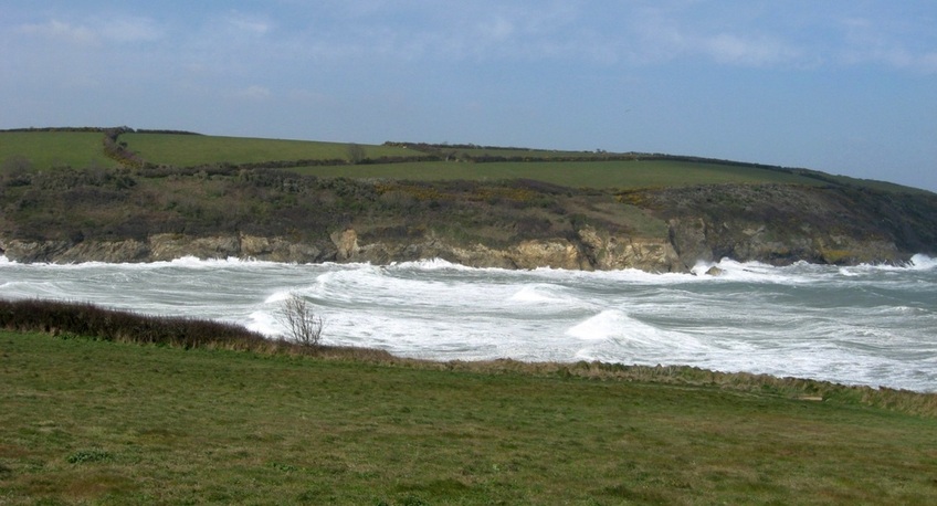
The seas look impressive enough here, on a bright April day, but imagine the scene in December 1978, at night, in a blizzard...
Those were the conditions when the Ben Asdale came ashore, and it triggered a daring helicopter rescue of most of the ship's crew.
(The Wikipedia account does not mention that conditions were so bad that the helicopter couldn't fly to Maenporth directly from Culdrose (just a few miles) because of the danger of icing, so it had to fly all around the Lizard peninsular at nearly sea level before carrying out the one and a half hour rescue, in the dark.)
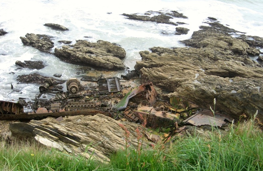
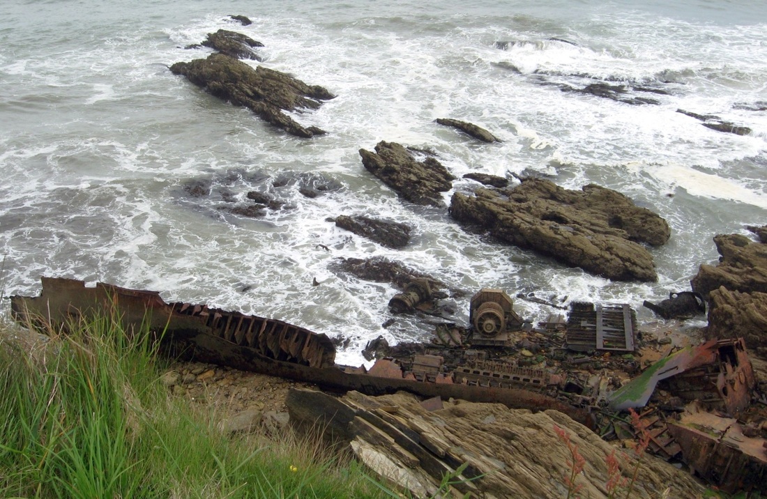
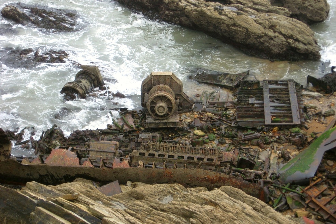
In the 1990s the hull of the Ben Asdale could easily be seen, perched up on the rocks, but since then the hungry sea has nibbled away at it, and only a few heavier items of hull and machinery now remain, only visible from the cliff above. Pictures below were taken on 12.05.2009.
Those were the conditions when the Ben Asdale came ashore, and it triggered a daring helicopter rescue of most of the ship's crew.
(The Wikipedia account does not mention that conditions were so bad that the helicopter couldn't fly to Maenporth directly from Culdrose (just a few miles) because of the danger of icing, so it had to fly all around the Lizard peninsular at nearly sea level before carrying out the one and a half hour rescue, in the dark.)
In the 1990s the hull of the Ben Asdale could easily be seen, perched up on the rocks, but since then the hungry sea has nibbled away at it, and only a few heavier items of hull and machinery now remain, only visible from the cliff above. Pictures below were taken on 12.05.2009.
|
|
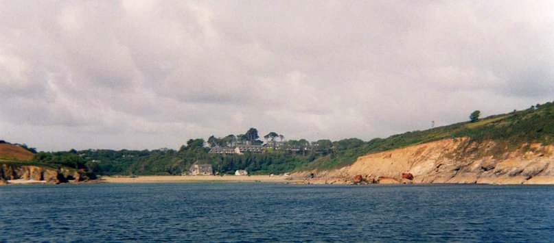
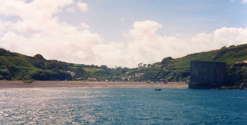
This view of Maenporth from the sea shows rusty red wreckage from the Ben Asdale, just above the tide line on the right. 1997.
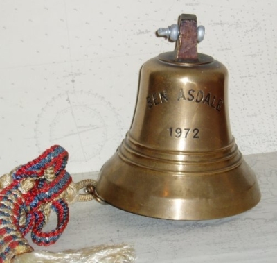
A few years after the shipwreck, a shop in St Ives offered this bell
for sale. It's not clear if it's the looted original, or a 'reproduction'!
for sale. It's not clear if it's the looted original, or a 'reproduction'!
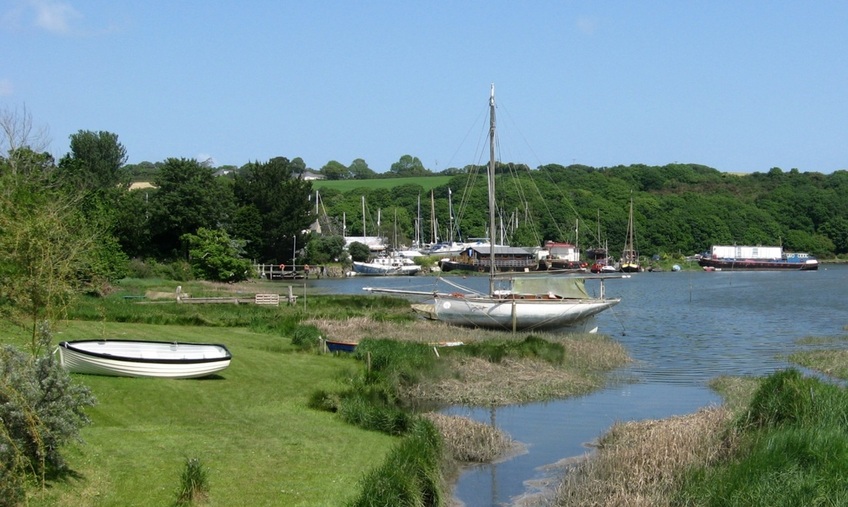
The Helford River
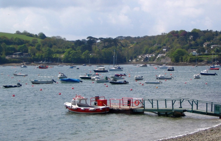
11.05.2005. View to Helford village on the south side from Helford Passage on the north. The foot ferry is in the foreground.
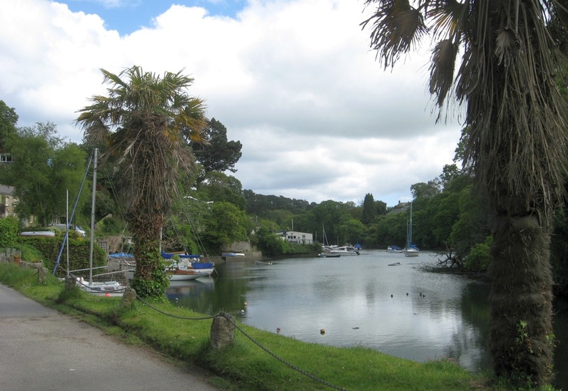
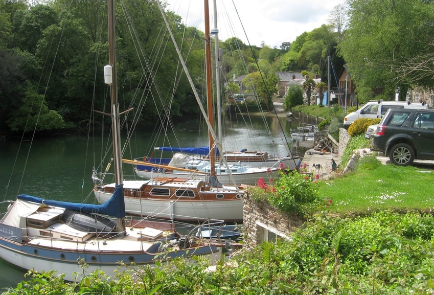
The mouth of the Helford is to the east, and the village of Gweek, at its headwaters, is to the west. But going upriver, the first
creek that branches off on the north side is Porth Navas. The village there is on a side creek. (Pictures taken 21.05.2009.)
creek that branches off on the north side is Porth Navas. The village there is on a side creek. (Pictures taken 21.05.2009.)
Porth Navas
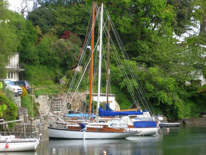
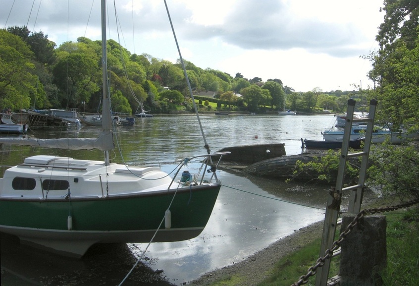
The main creek continues beyond the village, and divides into two drying branches here.
The western branch ends at Trenarth bridge, which offers this view of an unspoilt creek.
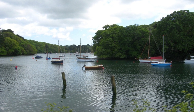
View from the north end of Porth Navas creek, showing the eastern shore, where some up-market homes have grounds running down to the water.
The next creek off the Helford is on the south side, Frenchman's Creek, which is narrow and dries at low water. Soon after the Helford divides:
the northern branch is Polwheveral Creek, relatively unused and unspoilt, while the Helford itself continues west to Gweek.
the northern branch is Polwheveral Creek, relatively unused and unspoilt, while the Helford itself continues west to Gweek.
Polwheveral Creek
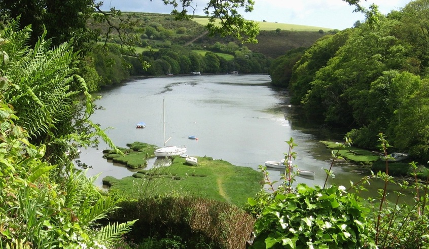
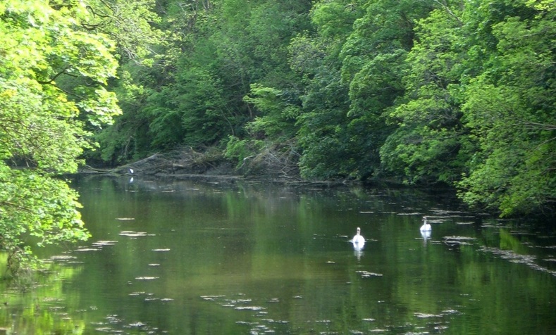
21.05.2009. The head of Polwheveral Creek, at high tide. The creek here dries at low water.
A view roughly SSW down the middle reaches of Polwheveral Creek.
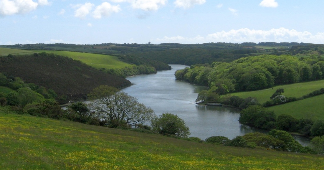
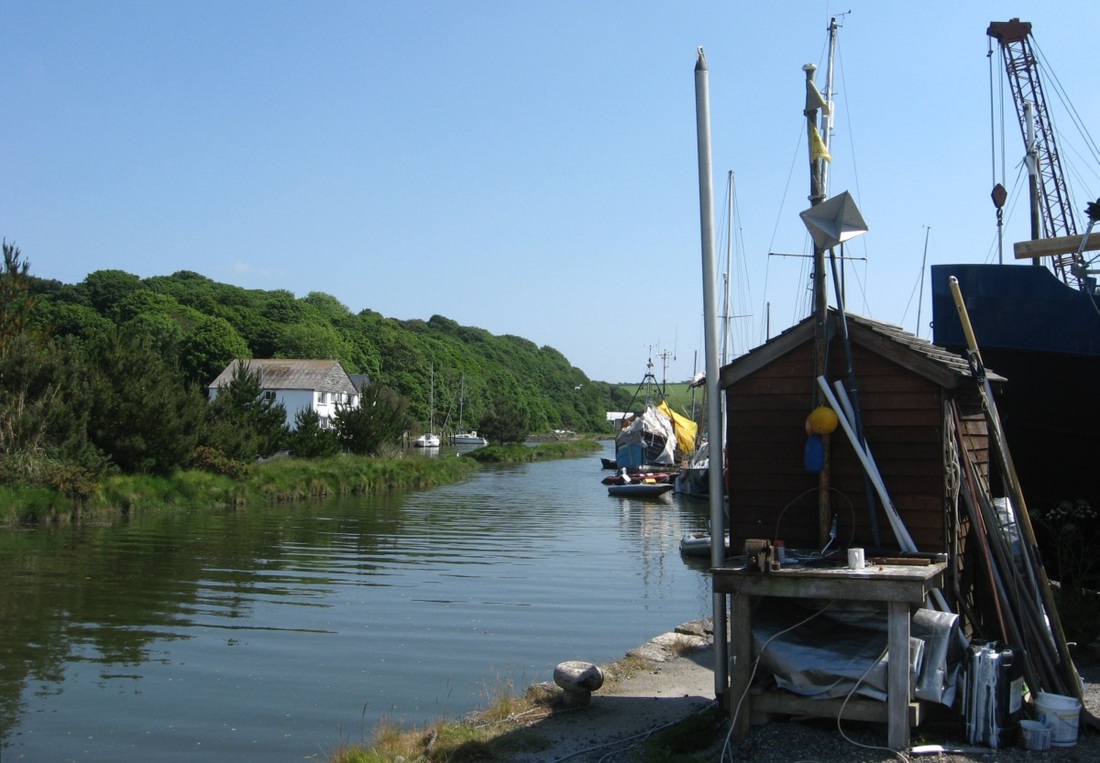
Several streams form the head of the Helford. Gweek Quay lies between two short branches of the river,
and supports a thriving boatyard and related trades.
and supports a thriving boatyard and related trades.
Gweek
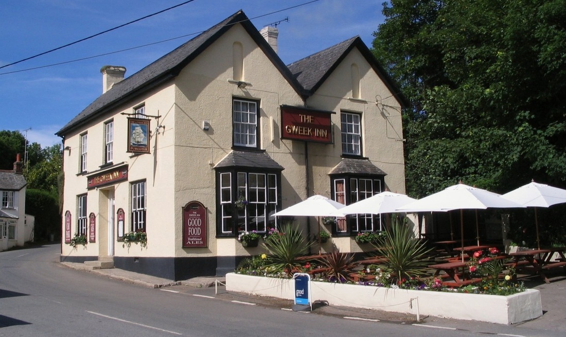
13.06.2007. The village pub, just north of tide's reach.
|
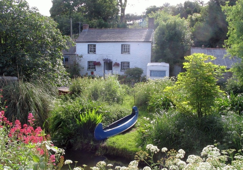
This cottage garden stream will soon join the Helford's north branch...
|
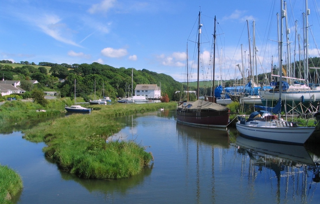
North branch of the river, and the east side of the boatyard.
|
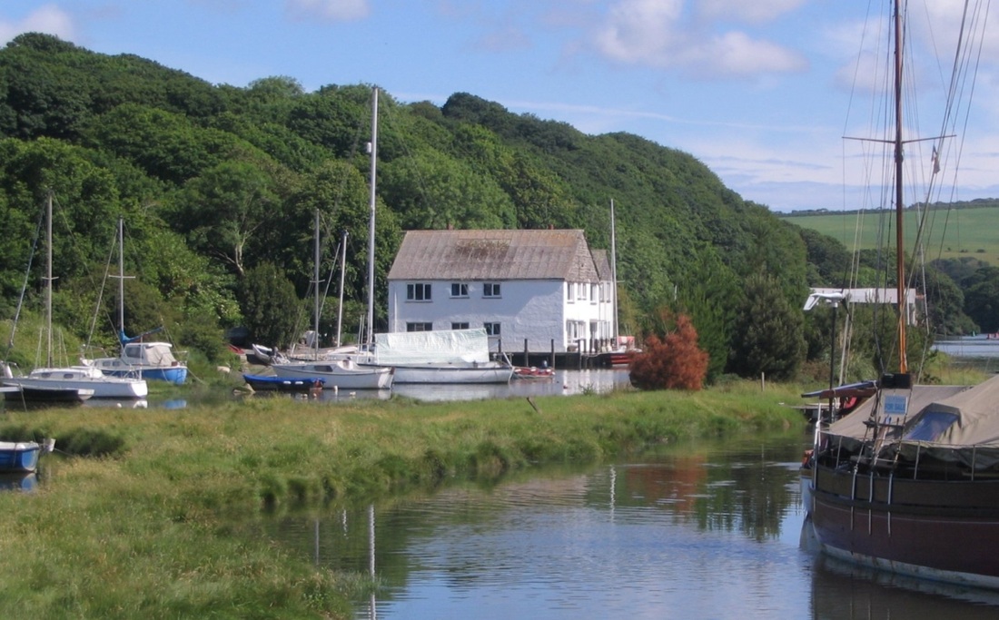
High tide - the creeks dry out at low water.
|
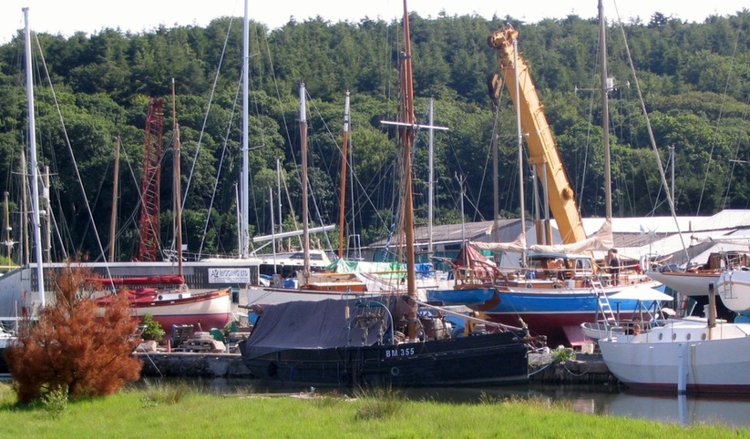
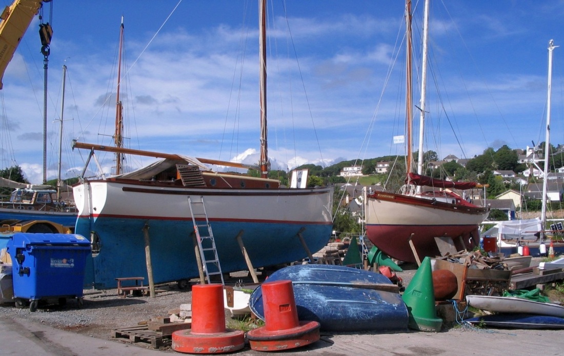
Views from the boatyard - 13.06.2007....
|
..and 04.06.2009.
|
04.06.2009. The western arm of the river, and the south side of Gweek Quay.
13.06.2007. The bridge at the head of the western arm of the Helford. South of here is the Lizard Peninsula.
The last port of call in Falmouth bay is Porthoustock, a small fishing village on the east side of the Lizard, just north of Manacle Point.
Porthoustock, 05.06.2009.
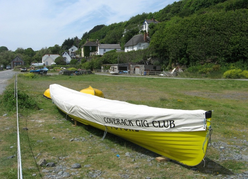
A Cornish Pilot Gig at Porthoustock. (Coverack is a a village a few miles SW of here.)
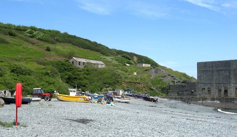
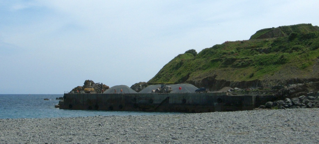
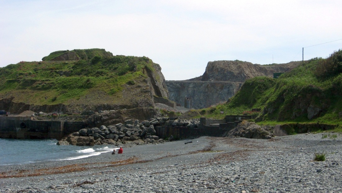
Small fishing craft hauled up on the beach. The concrete structure is a disused stone mill, once used to crush stone from the nearby quarry.
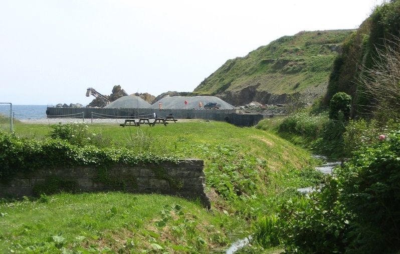
The quarry is on the south side of the beach. It still produces various aggregates.
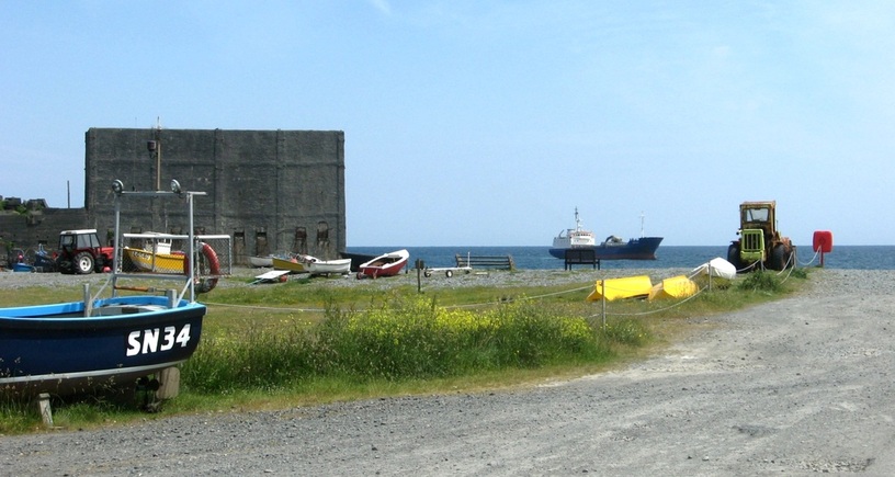
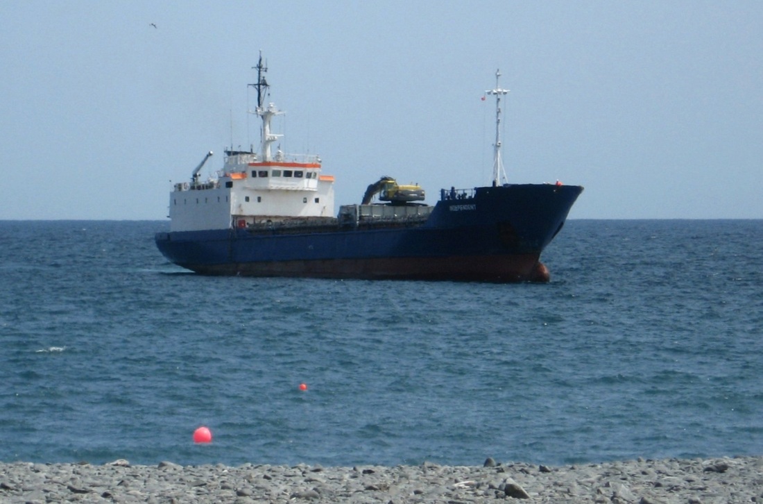
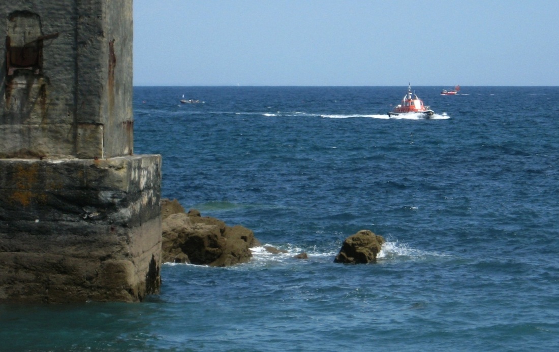
As luck would have it, a small ship is arriving to collect a cargo of stone!
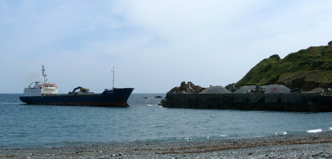
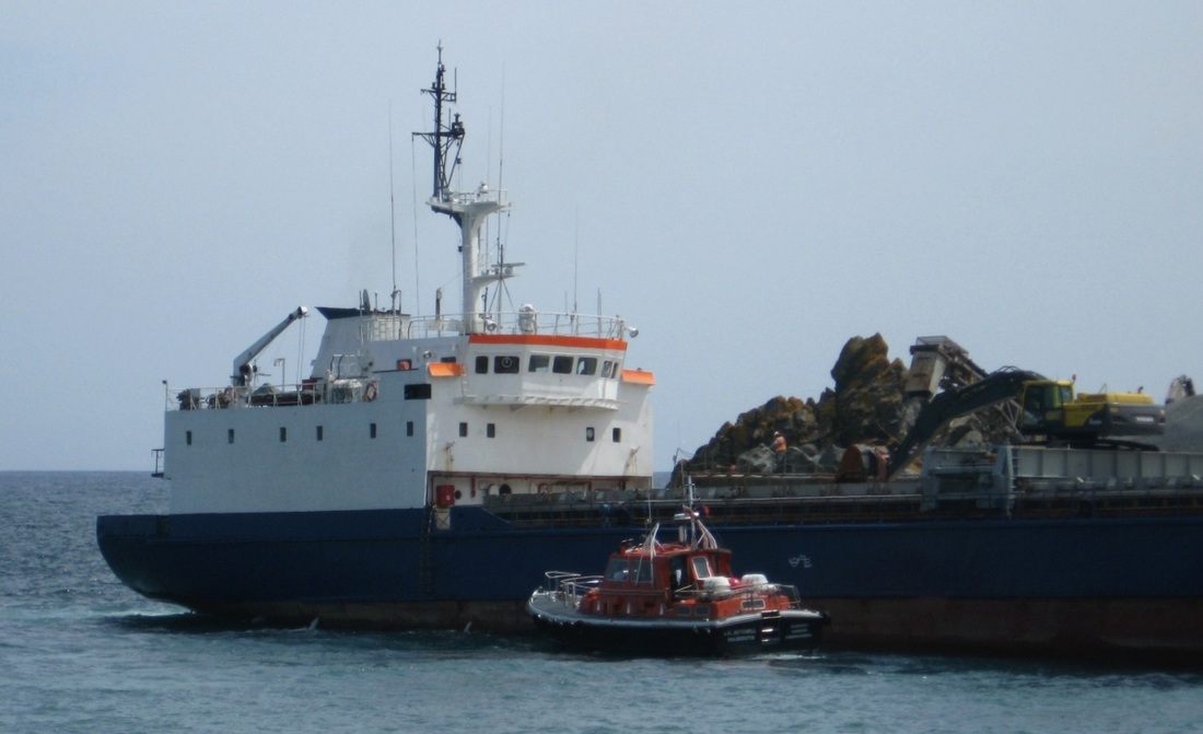
The ship is brought to the wharf by a pilot from Falmouth.
|
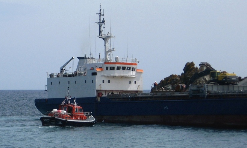
The rising tide means the ship will stay afloat when loaded.
|
|
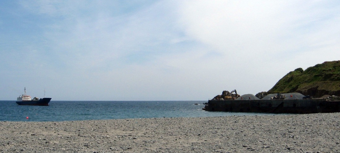
This close to shore, there's not much water under the keel.
|
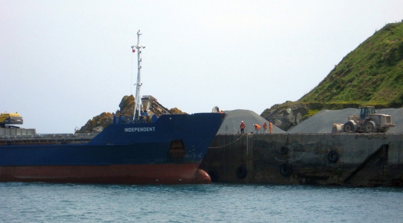
As the ship begins to tie up, the pilot boat arrives...
|
|
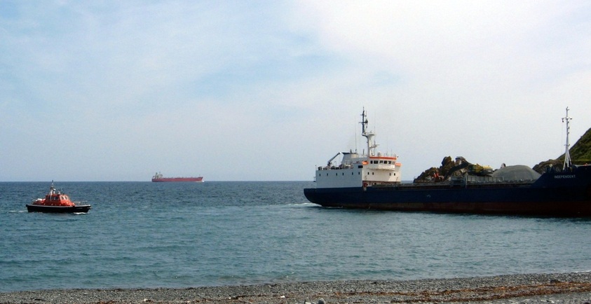
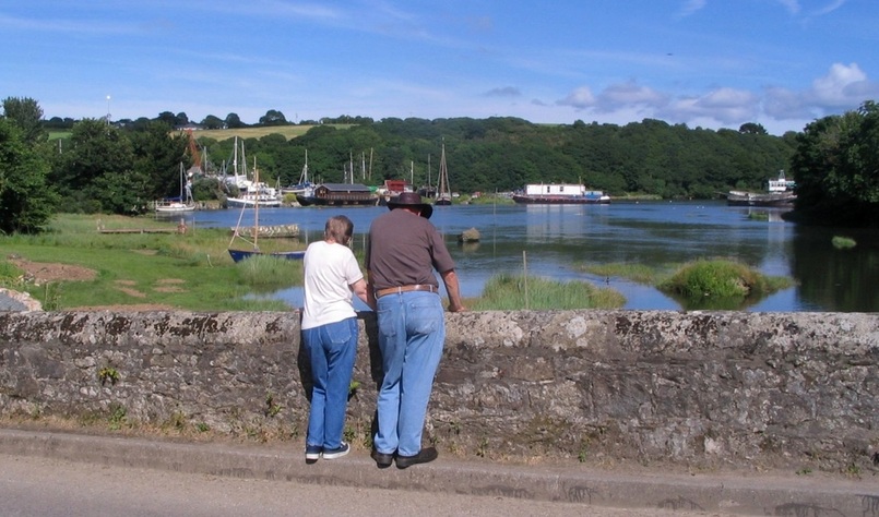
Meanwhile, out at sea, a big ship is leaving Falmouth bay, keeping well clear of the Manacles rocks.
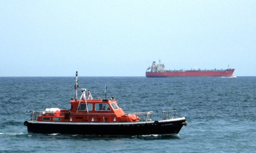
The pilot boat is the L.K.Mitchell, operated by Falmouth Harbour Commissioners. It's here to pick up the pilot.
The pilot boat manoeuvres into position...
Two people watch from the beach as the pilot boat holds position..
|
|
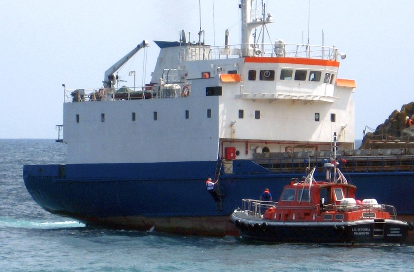
The pilot climbs down the ladder, as a crewman waits to help him safely aboard the pilot boat.
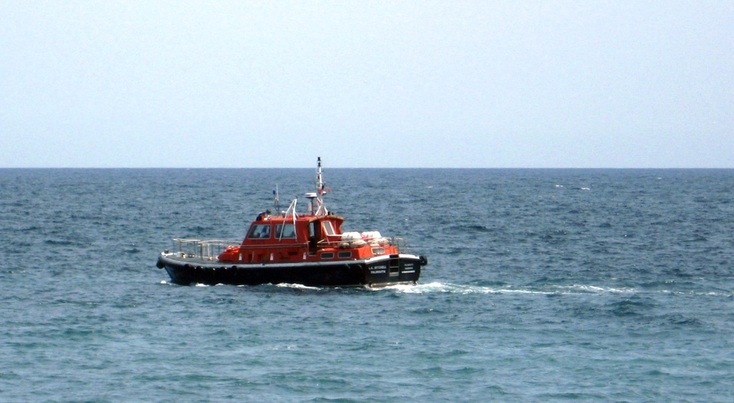
With the pilot aboard, the pilot boat heads back north towards Falmouth.
Porthoustock from the sea. 1997.
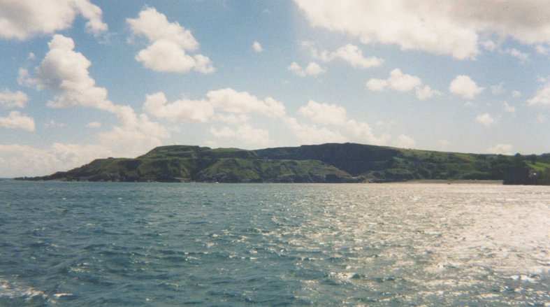
Porthoustock quarry and beach, from the sea. 1997.
Porthoustock beach and stone mill. 1997.
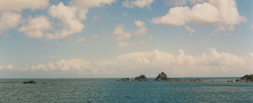
The rocks off Manacle Point, seen from the north. Which concludes this page and leads on to the next one...
