Manacle Point to Penlee Point (1)
05.06.2009.
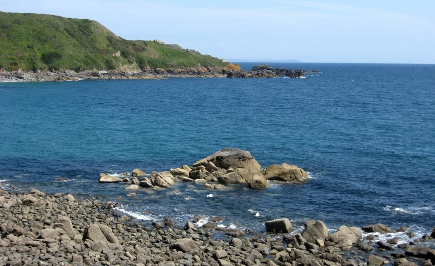
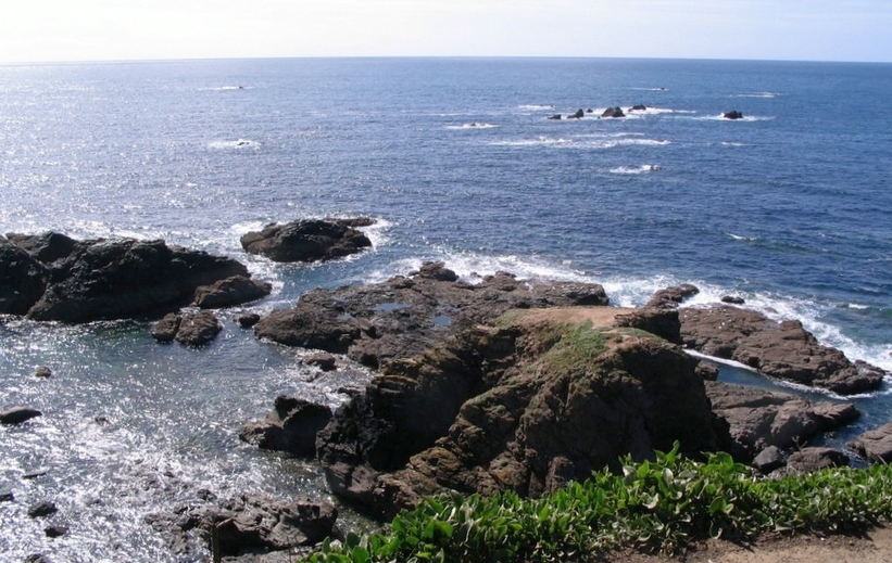
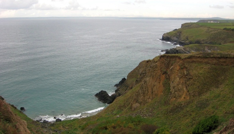
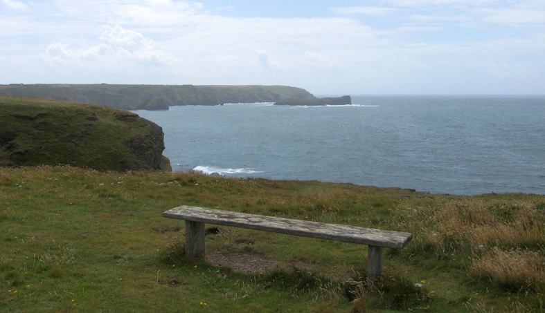
A view NE from Godrevy Cove. Dodman Point can be seen in the distance, about 17 miles away.
The un-named headland with the small building is just hiding Manacle Point, and Porthoustock with its quarry is barely more
than a stone's throw NW from there. South of Godrevy Cove is Dean Point, with Dean Quarry (now disused) nearby.
than a stone's throw NW from there. South of Godrevy Cove is Dean Point, with Dean Quarry (now disused) nearby.
Dean Quarry and the coast NE. In the distance, a big ship is anchored in Falmouth Bay.
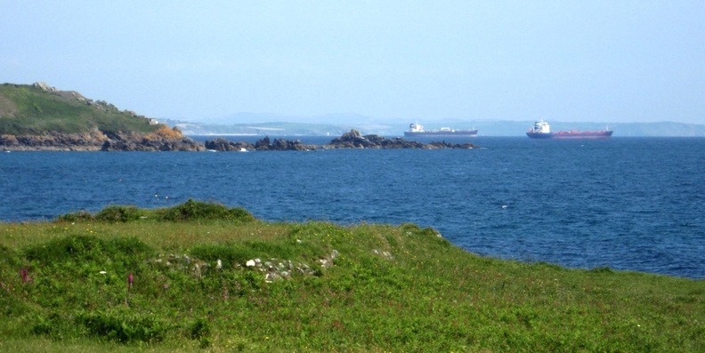
In fact, two big ships can be seen at anchor in Falmouth Bay.
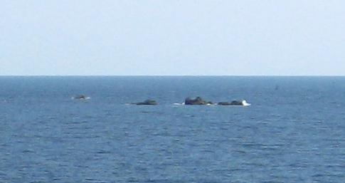
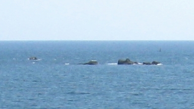
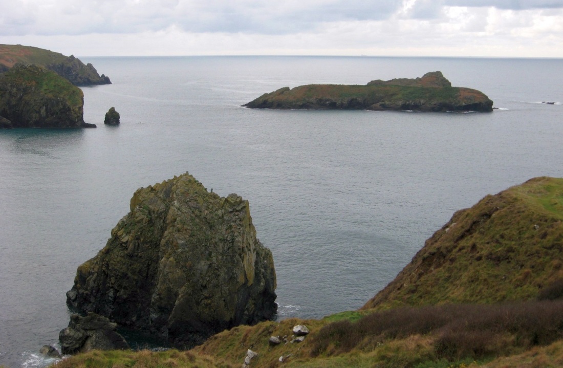
Although several rocks can be seen lying off the two points, the main group of rocks known as the Manacles is SE of there,
almost directly out from Godrevy Cove. Some of them can be seen in the next two pictures, taken at low tide: -
almost directly out from Godrevy Cove. Some of them can be seen in the next two pictures, taken at low tide: -
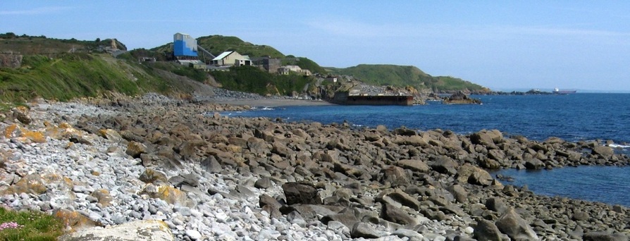
This view of Dean Quarry pier and the Manacles also shows Dodman Point, top left.
|
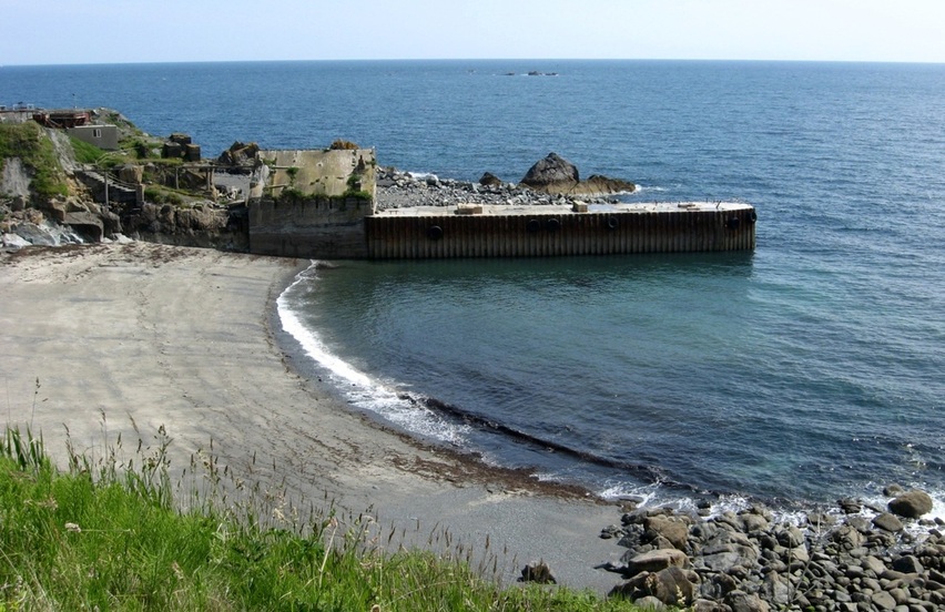
The loading pier at Dean Quarry, looking ENE to the Manacles.
|
Details from the previous pictures: the Manacles and their East Cardinal lightbouy. (Not somewhere to be on a dark and stormy night! )
|
|
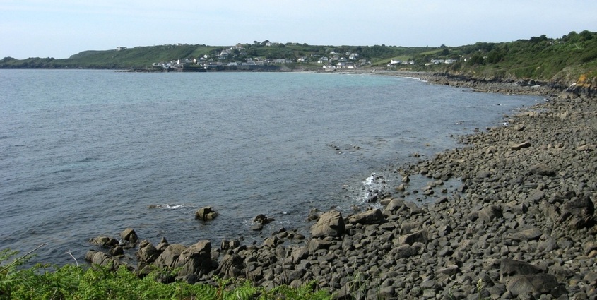
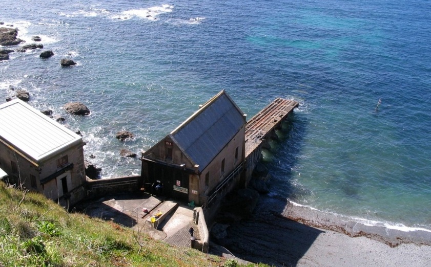
South of Dean Quarry is Lowland Point. From there we get a view of Coverack to the SW.
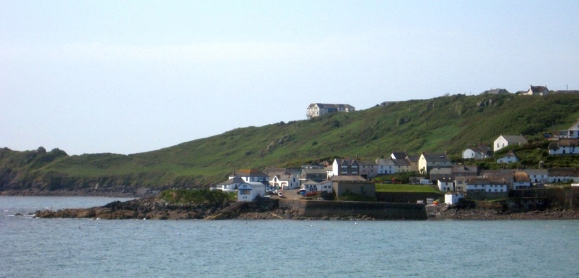
Coverack: the old Lifeboat house and harbour wall are in the centre. On the skyline is the old Edwardian Headland Hotel, now private apartments.
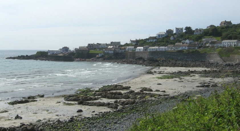
Coverack is sheltered in normal westerly weather, but is open to the SE.
The lifeboat station operated from 1901 to 1980. The Paris Hotel is just behind. The harbour dries at low tide, and is used by inshore fishing boats.
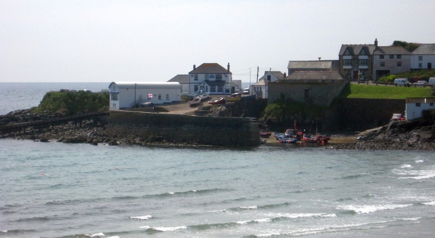
It's a few miles south and then west along the coast to the next fishing village, Cadgwith, an open cove that faces SE.
In March 2012 the BBC aired a TV series about fishing here, presented by Marine biologist and professional diver Monty Halls.
In March 2012 the BBC aired a TV series about fishing here, presented by Marine biologist and professional diver Monty Halls.
08.04.2006.
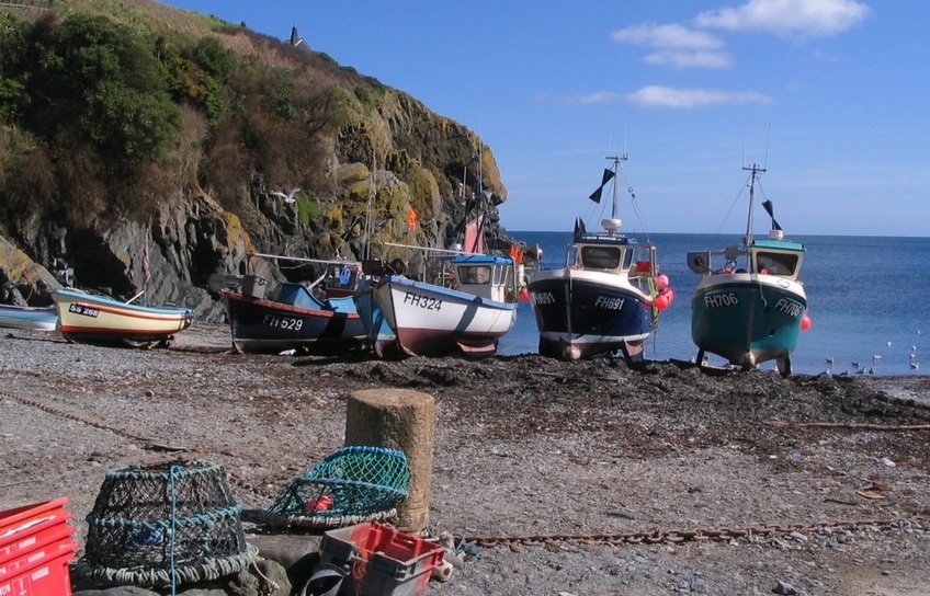
Because there is no harbour here, the boats have to be winched up the beach when they return from sea, clear of the high tides.
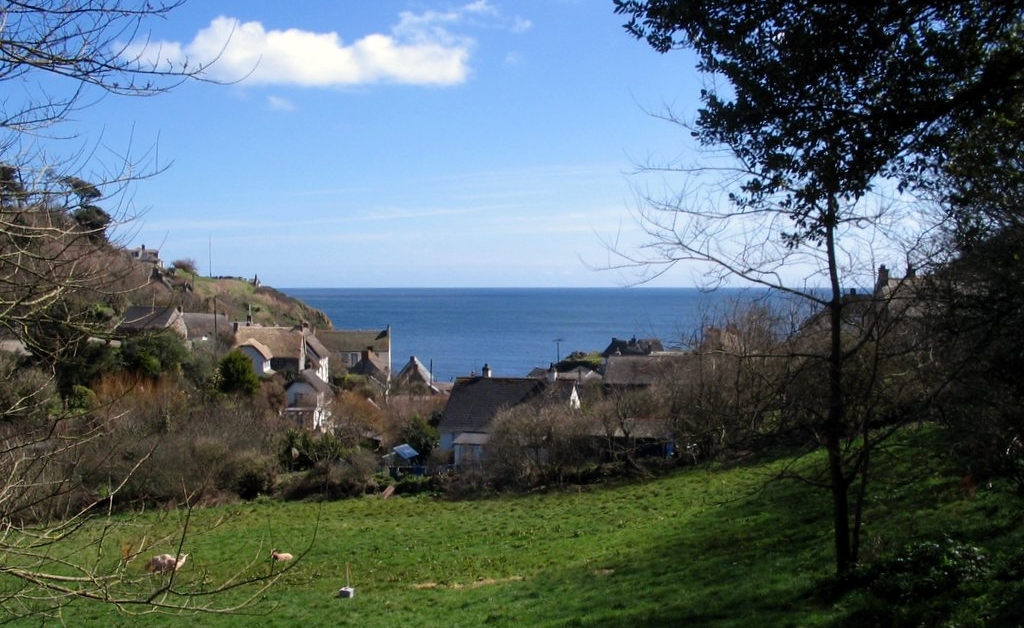
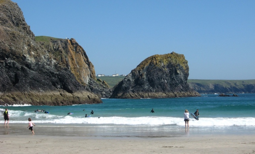
Cadgwith is a pretty village...
|
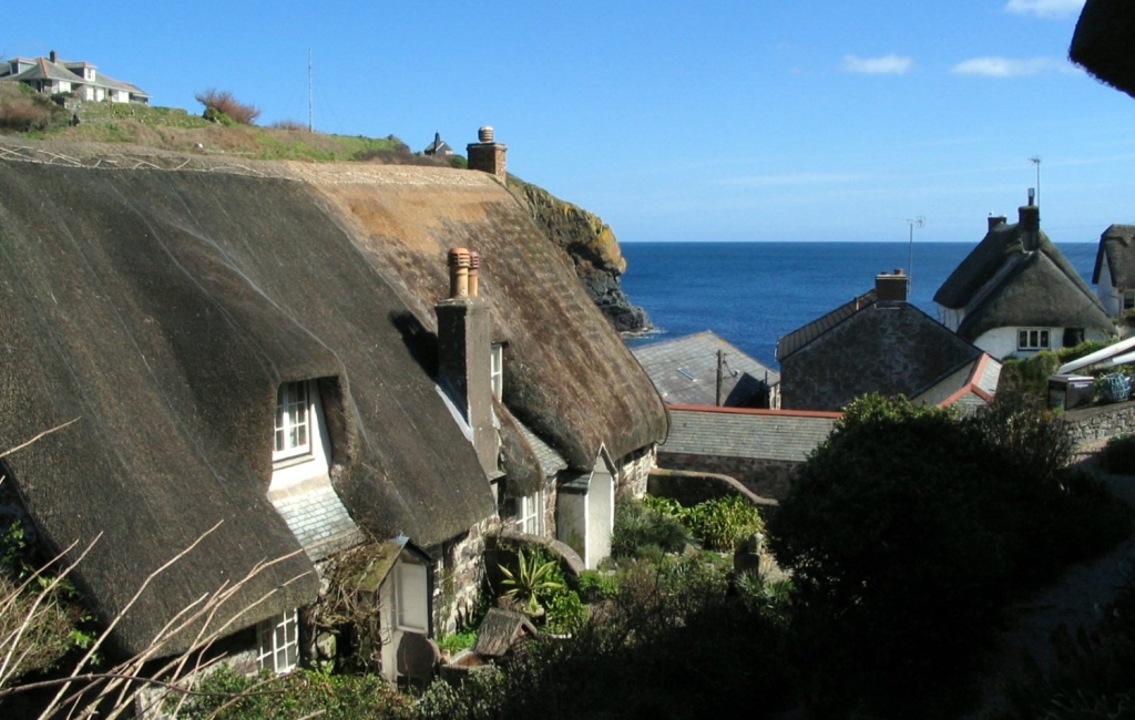
..and popular with tourists.
|
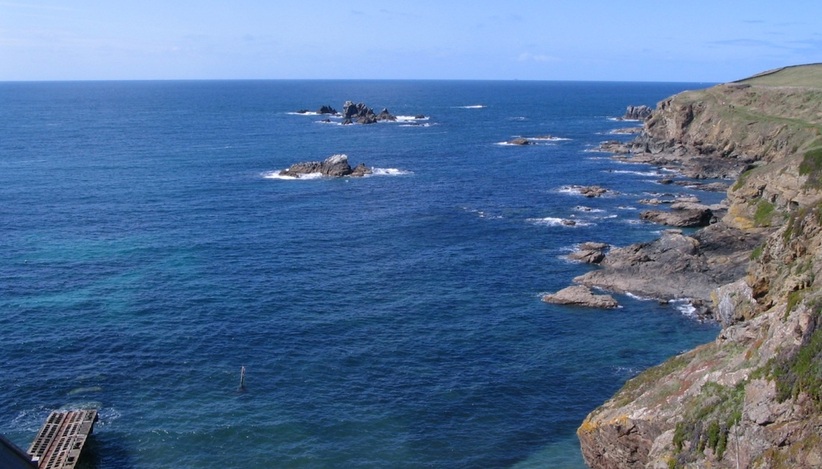
A few more miles down the rocky coast is Britain's most southerly point, the Lizard.
Not only are there dangerous rocks all around, but there are strong tides too, making this a very dangerous place, especially for small craft. The Lizard Peninsula protrudes into the tidal streams flowing up or down the English Channel, forcing them to flow faster. If the wind is blowing against the tidal stream, the waves steepen and break, producing tidal overfalls. Even large ships keep well clear to the south of the Lizard.
Not only are there dangerous rocks all around, but there are strong tides too, making this a very dangerous place, especially for small craft. The Lizard Peninsula protrudes into the tidal streams flowing up or down the English Channel, forcing them to flow faster. If the wind is blowing against the tidal stream, the waves steepen and break, producing tidal overfalls. Even large ships keep well clear to the south of the Lizard.
08.04.2006.
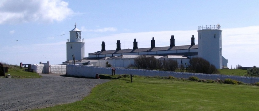
The Lizard Lighthouse stands atop the cliffs. It was built in 1751, and automated in 1998. Its powerful beam can be seen for miles in clear weather.
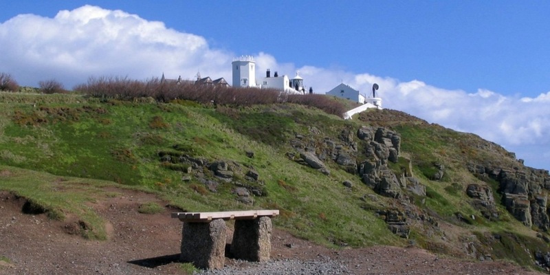
The Lighthouse, seen from the track that leads down to Polmeor Cove and the old Lifeboat station.
Some of the rocks to the South of Lizard Point. Up to 400 ships a day pass here.
The old Lizard Lifeboat station in Polpeor Cove. The modern LB station is at Kilcobben Cove, just east of the Lizard. (Click image for more info.)
Part of the Lizard, and more outlying rocks, to the west of the old LB station.
The coastal footpath heads north along the west side of the Lizard : 20.05.2009.
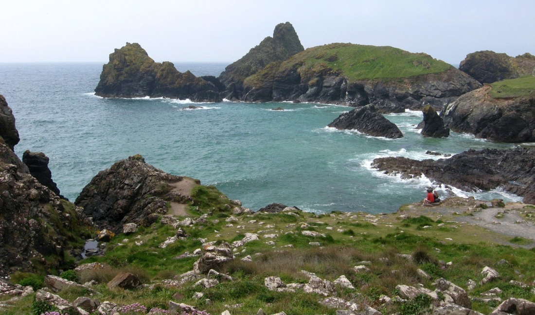
The large rock (or small island), just left of centre, is Lion Rock. It lies in front of Kynance Cove, a favourite beach and beauty spot.
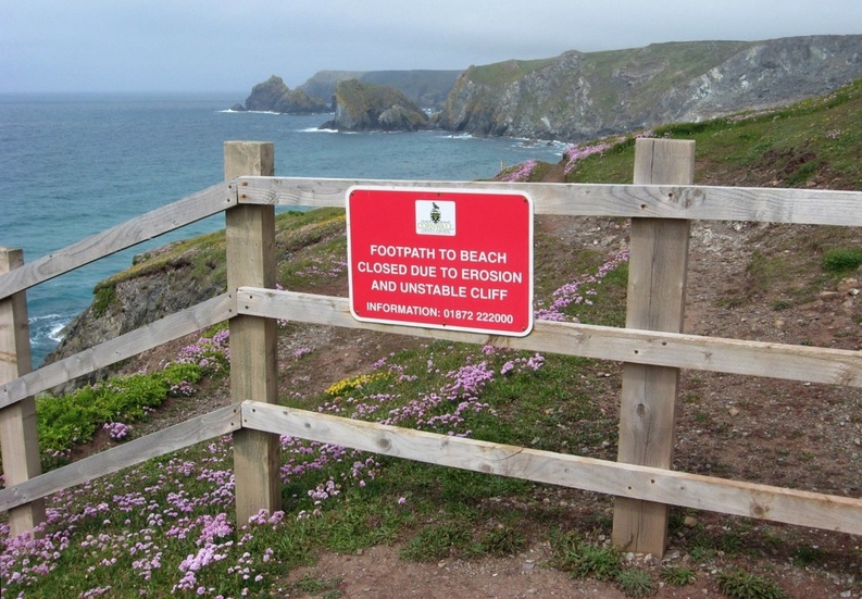
Closer to Lion Rock, but a small detour is necessary. (Cliff falls and landslips have increased in 2012 and 2013 because of extreme weather.)
|
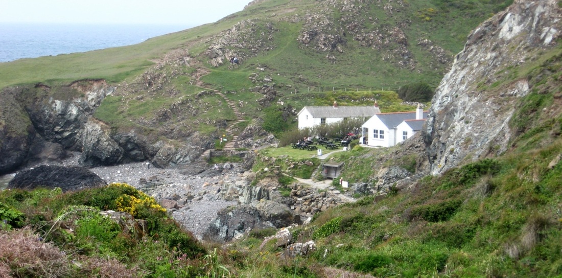
Kynance Cove, and its cafe and restaurant.
|
"Yes, very dramatic... But you mentioned a beach..? There's only rocks and stones here."
Well, the beach is covered by the high tide - we'll have to come back another time!
Well, the beach is covered by the high tide - we'll have to come back another time!
Another time - 29.05.2009
The sun is out - and so is the tide!
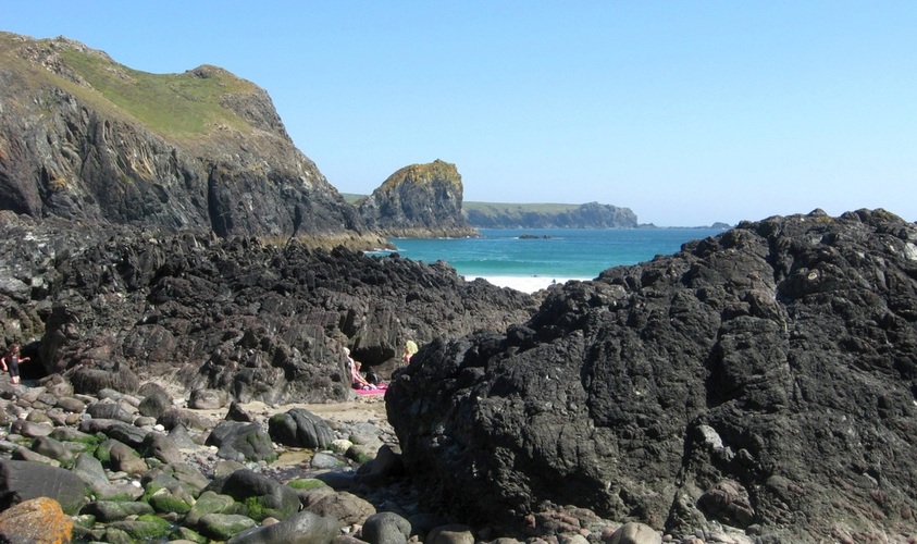
A view of Lion Rock, with the SW corner of the Lizard beyond. And some sand on the beach..?
Sand, sea, rockpools, stunning views, and a blue sky - who could ask for more?
|
And there are other nooks and crannies to explore.
|

The beach passes between Asparagus Island (left) and the mainland.
A final shot of Lion Rock from Kynance Cove.
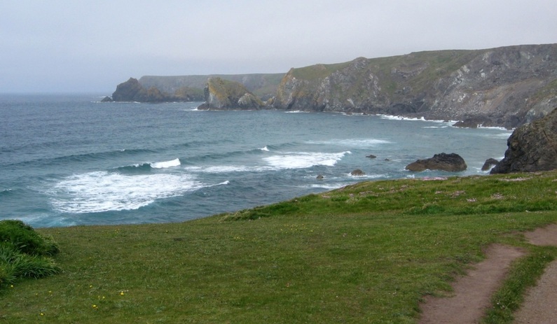
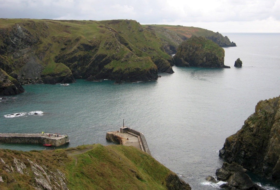
North of Kynance Cove there are more rocky headlands, and the next place of interest is Mullion.
Mullion Island lies just offshore, and helps to shelter Mullion Cove, where there is a small artificial harbour.
Mullion Island lies just offshore, and helps to shelter Mullion Cove, where there is a small artificial harbour.
20.11.2009.
Mullion Island, on a quiet day.
|
Mullion Cove and harbour.
|
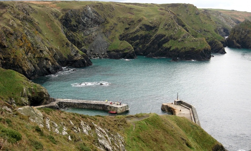
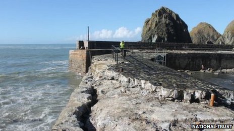
Mullion Harbour. There seems to be some repair work being carried out on the south pier, but the harbour is little used nowadays.
|
After the storms of February 2014...
Mullion Harbour repairs to cost £250k The figure for Mullion Harbour is in addition to £300,000 spent in 2007 and a further £95,000 in 2012. The National Trust said breakwaters had stood up well but repairs would begin this week. (22.05.2014.) It previously said the harbour was exposed to the "full fury" of gales which had been "intense and incessant", general manager Alastair Cameron said. |
|
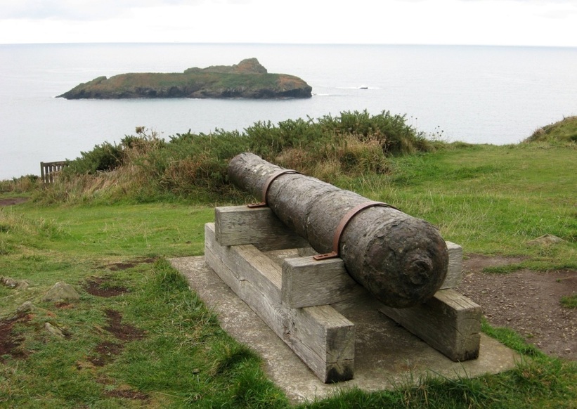
Just north of Mullion Cove, a hotel installed this old cannon as a visual feature.
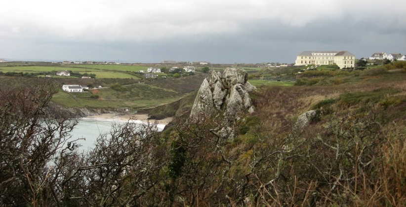
Polurrian Cove lies just north of Mullion Cove. It provides a fine beach at low water,
and is overlooked by the impressively sited Polurrian Bay Hotel.
and is overlooked by the impressively sited Polurrian Bay Hotel.
Polurrian Bay Hotel, seen from the south. 20.11.2007.
Polurrian Cove from the north. 14.07.2009.
Heading north from Mullion - the clifftop coastal footpath offers views of Mounts Bay. 20.11.2007.
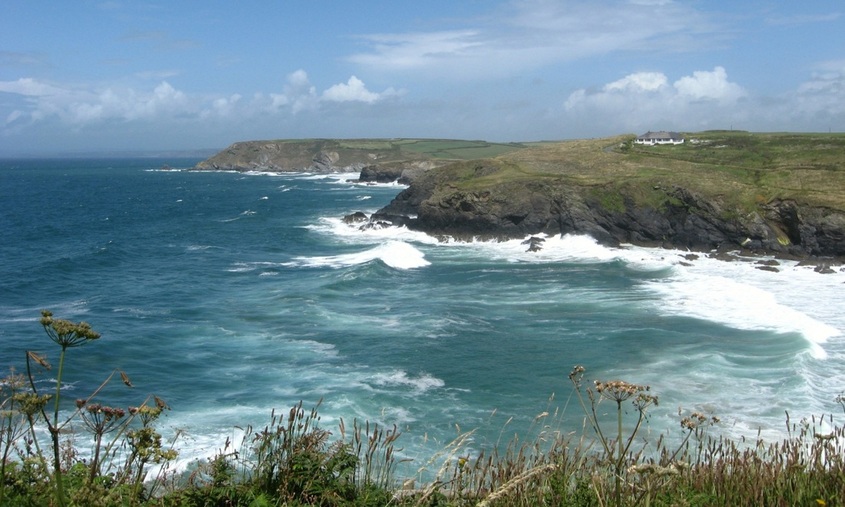
This view covers almost all of Mounts Bay, but not in any great detail. (St Michaels Mount is about dead centre.)
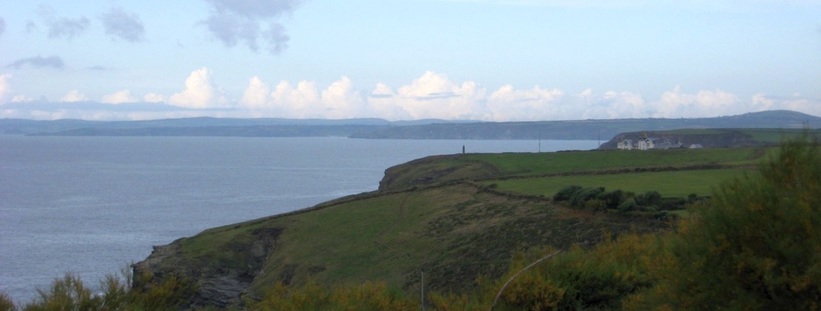
This view shows the Marconi Monument, just south of Poldhu Cove. (St Michaels Mount is just on the left edge of the picture.)
Marconi made the first trans-Atlantic radio broadcast from Poldhu. (Photos 14.07.2009.)
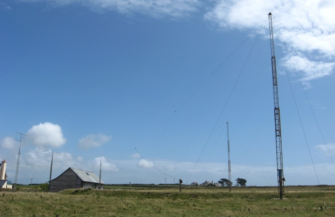
Antennas operated by the Poldhu Amateur Radio Club.
|
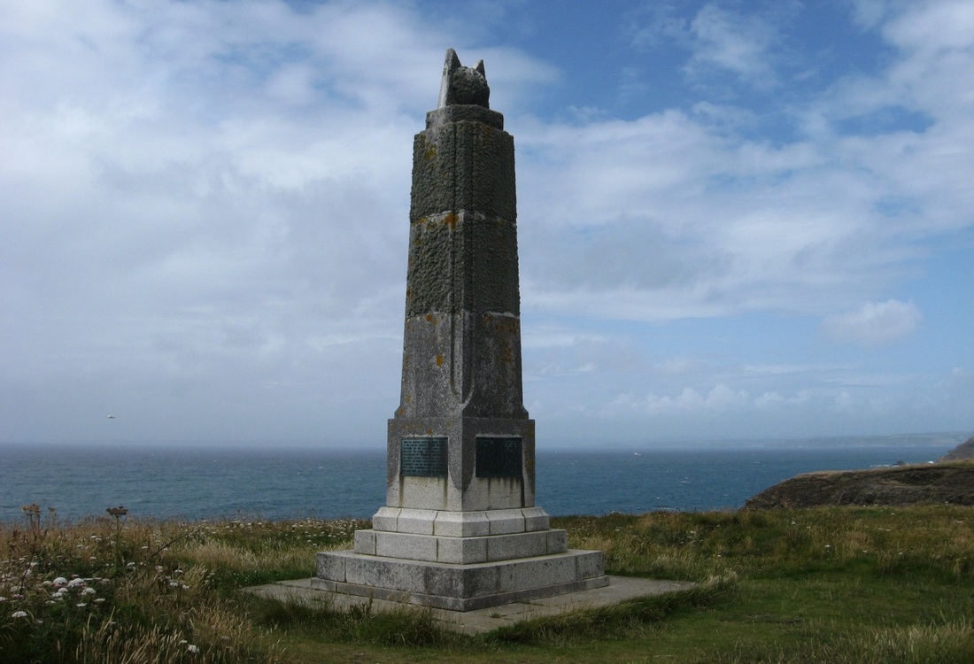
The Marconi Monument.
|
View south to Mullion Island from near the Marconi Monument.
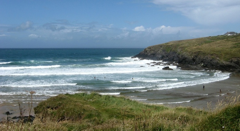
Looking west across Poldhu Cove. The surf is created by unimpeded Atlantic swells. 14.07.2009.
View NW past the mouth of Poldhu Cove. A smaller cove, Church Cove, lies just around the nearest headland. The furthest headland is Pedngwinian.
