Penlee Point to St Ives
South of Penlee is the little harbour of Mousehole. Just off the harbour is a rocky reef called St Clement's Isle. Maybe it was once more of an island - the whole of Cornwall shows evidence of the land sinking, and in legend St Michael's Mount is called "the grey rock in the wood". Certainly sea levels have risen since the last Ice age, and perhaps folk memories of faster periods of rise gave rise to legends like the sunken land of Lyonesse.
Mousehole photos 30.07.2009.
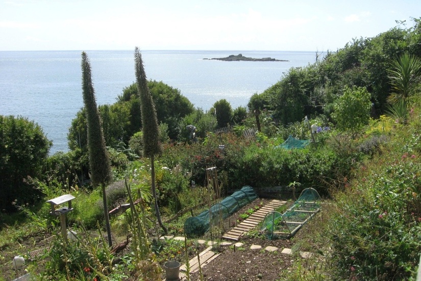
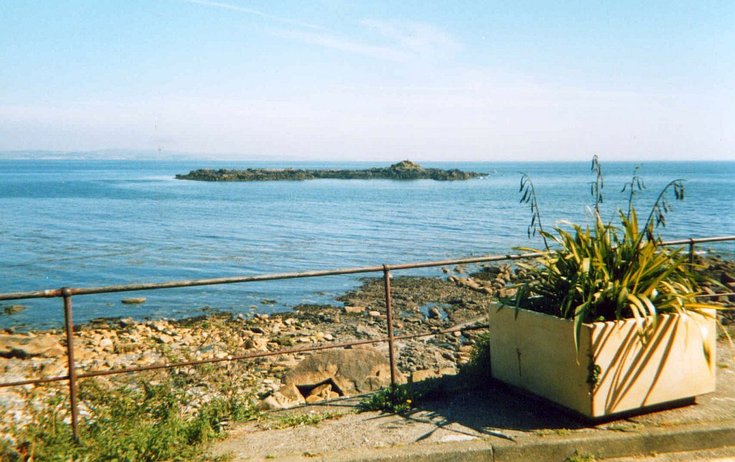
St Clement's Isle, seen from the north.
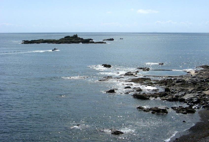
A closer view. The detached rock on the right is Shag Rock.
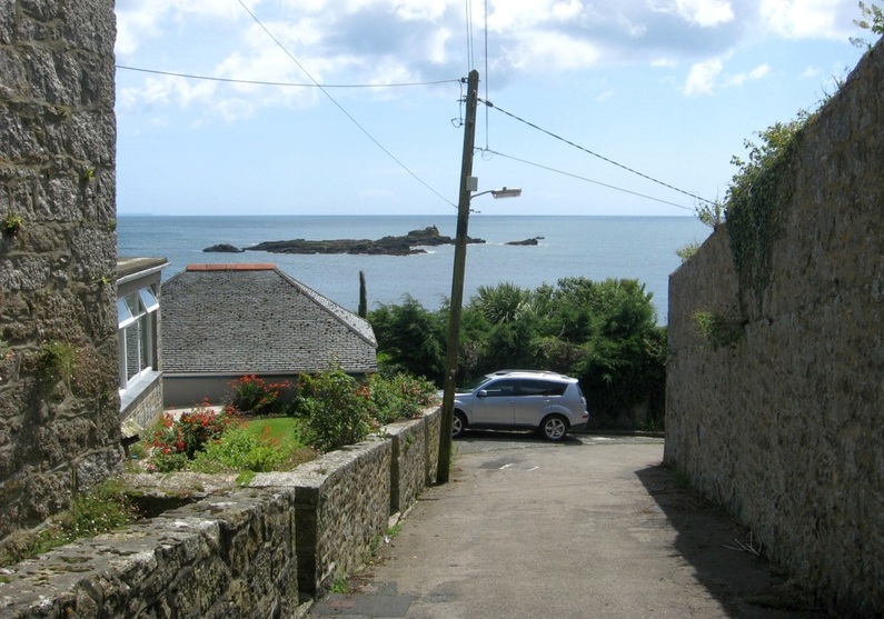
A side street in Mousehole.
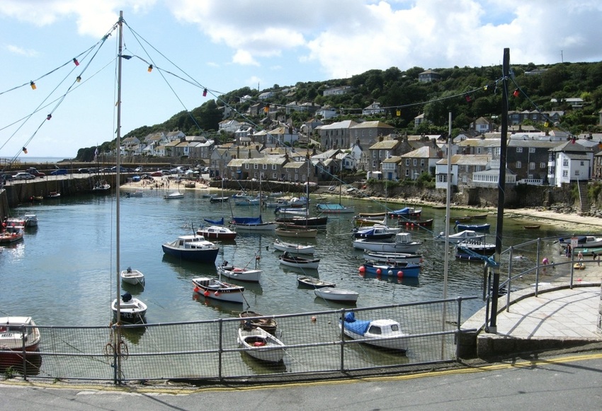
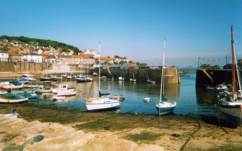
Mousehole Harbour. The tide is still rising. But at low water, most of this area dries out.
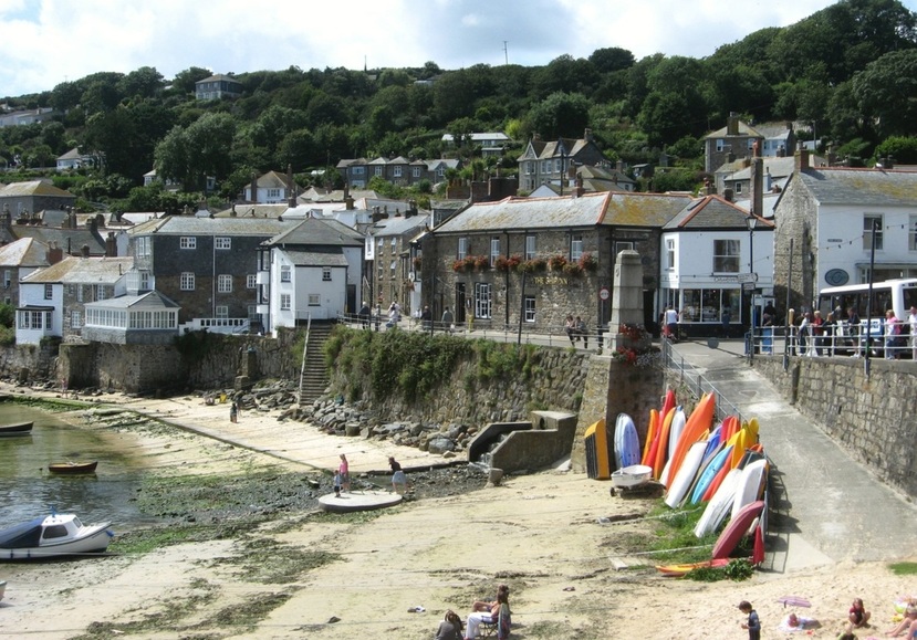
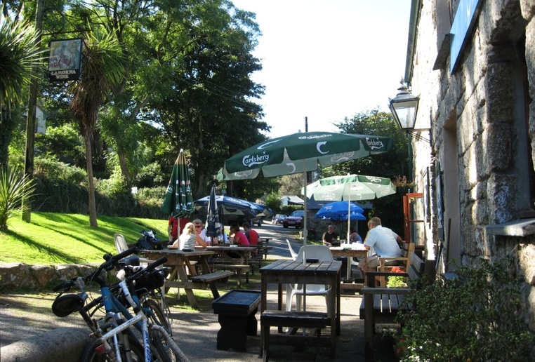
The Ship Inn, at the centre of the village. Buses offer a frequent service to Newlyn and PZ.
Low tide view, showing St Clements Island outside. 2003.
The Island offers some protection in easterly winds. Part of the Lizard is visible in the distant haze. 2003.
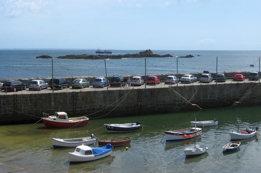
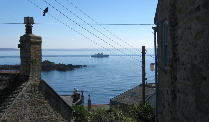
The harbour and St Clement's Isle. A small cargo ship heads north outside the rocks towards PZ. In the distance, the Lizard can be seen.
The ship is in fact the Gry Maritha, which carries cargo to and from the isles of Scilly.

The sign on the south pier celebrates the centenary of the Mousehole Male Voice Choir, 1909 to 2009.
The two-masted vessel alongside the pier is a Cornish Lugger. Once the Cornish fishing fleet consisted of hundreds of sailing craft like this.
Mousehole harbour from the south. Through the entrance, St Michaels Mount is visible in the distance. 2003.
Less than a mile uphill from Mousehole is the village of Paul. Its church tower is visible for miles around, and is a landmark for those at sea.
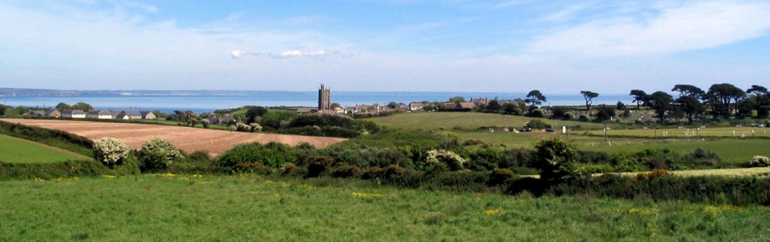
06.06.2006. Paul church tower and Mounts Bay. (On the right, a cricket match is under way.)
09.07.2005.
|
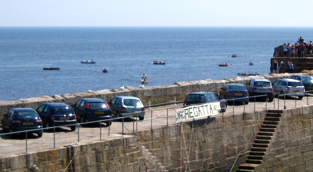
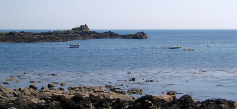
Races in Mousehole Rowing Club Regatta.
|
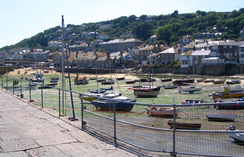
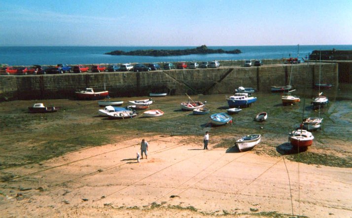
Mousehole harbour at low tide.
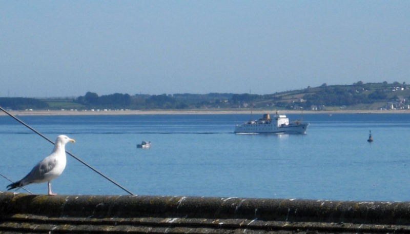
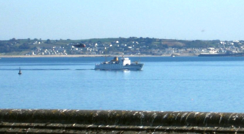
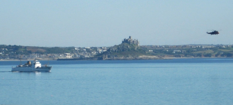
Scillonian III sailing past Mousehole, 25.08.2007.
|
|
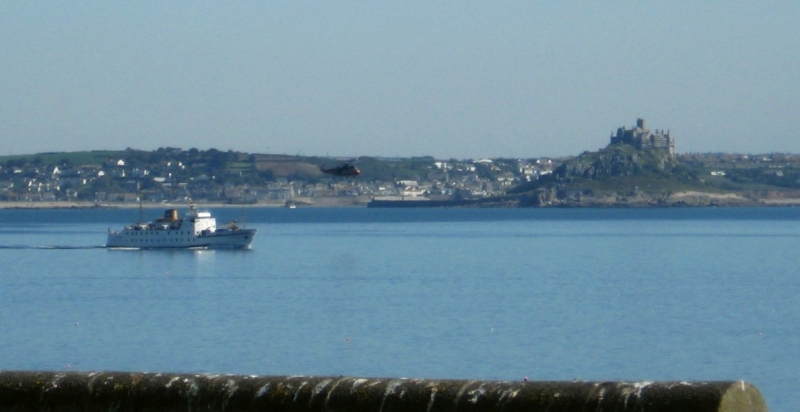
As she passes Low Lee bouy, a RN Seaking helicopter flies by...
|
|
Finally, Scillonian III clears St Clement's Isle and leaves Mousehole behind.
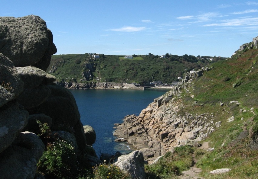
The coastal footpath, Mousehole to Lamorna, 25.08.2007.
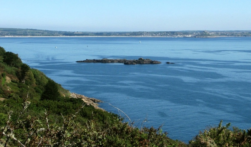
A look back to St Clement's Isle and the northern part of Mounts Bay.
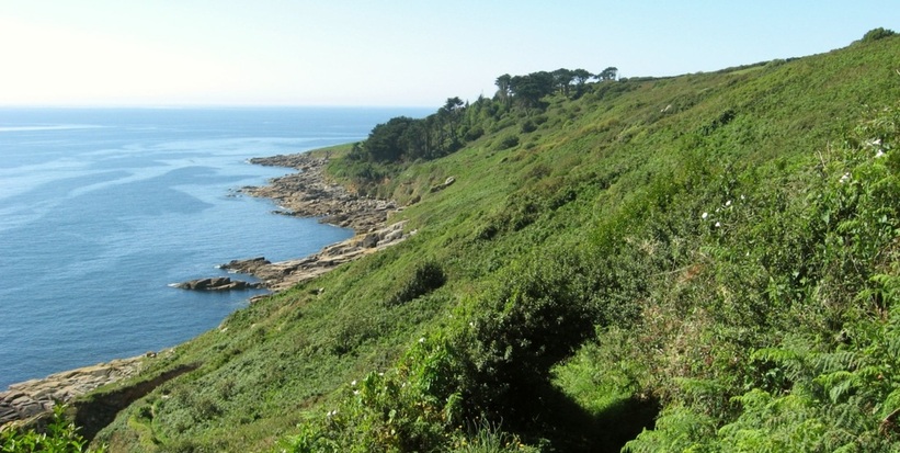
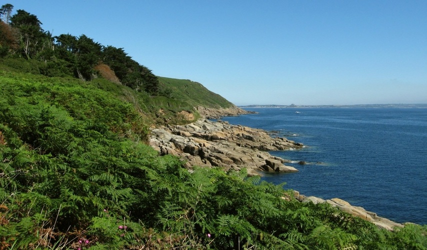
A typical Cornish coastline.
A view back towards St MM.
A 30 square metre design yacht enjoys a gentle sail in light airs. The Lizard coastline is seen in the first picture, and Lizard Point in the second.
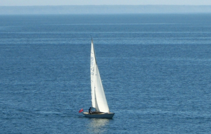
"Ready about..."
|
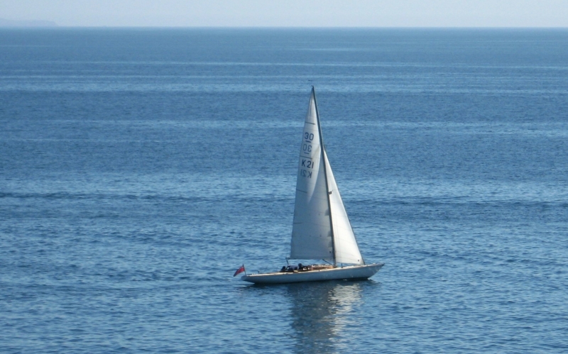
.."Lee oh!"
|
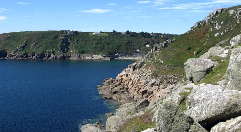
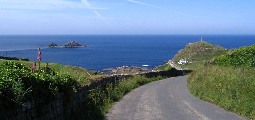
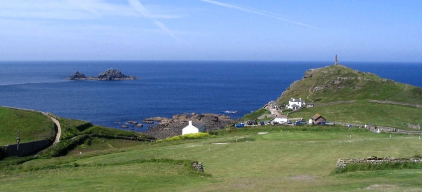
First glimpse of Lamorna Cove, from above Carn Du.
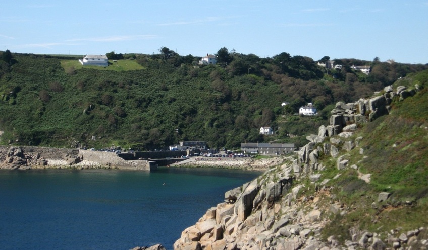
A zoomed-in view from the same place.
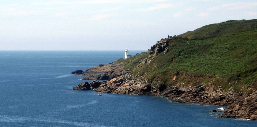
On the far side of the cove stands Tater-du lighthouse. But the shot also includes the Wolf Rock lighthouse, on the horizon to the left.
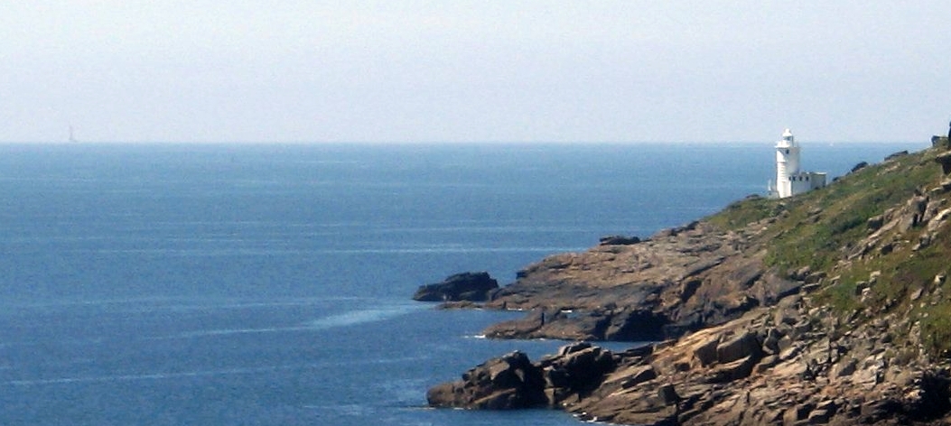
Detail from previous photo. There also appears to be land beyond Tater Du... if that's not the Scilly Isles, it must be a ghostly image of Lyonesse!
Lamorna Cove and the coastal footpath.
Finally, a chance to relax at the Lamorna Wink.
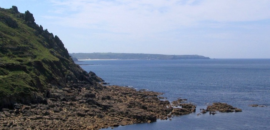
There are many more rugged cliffs and coves on this southern coast. Just a couple of shots from Porth Curno, 27.08.2009:
Logan Rock, on the east side of Porth Curno. It is a small peninsula, and it can be reached by a path that branches off the coastal footpath.
The beach at Porth Curno. (The village here is 'Porthcurno'!)
There is no harbour here, but sandy coves like this are ideal for bringing undersea cables ashore. A large proportion of the cables linking Britain with the world come ashore in Cornwall, and Porthcurno was an important cable terminus until 1970. (Some of these cables were exposed again on
10-01-2014, when a winter storm removed sand from the beach.)
The full story is told in the Telegraph Museum (mentioned before). Also mentioned before is the Minack Theatre, high on the cliffs just west of Porthcurno.
From Porthcurno the coast trends west and then north towards Lands End. There are are high cliffs, off-lying rocks, and the Longships lighthouse to be seen from there (and the Scilly Isles on a clear day), but many people feel that the Theme Park is inappropriate for this setting. For the record, we'll just mention that Lands End is the most westerly point of England, though not of mainland Great Britain (that honour goes to Ardnamurchan Peninsula in Scotland), and move on to Sennen Cove, just to the north.
16.06.2011. Sennen Cove at low water. This view faces WNW, and shows the Sennen Cove lifeboat slipway and its breakwater.
Sennen Cove Lifeboat station was founded in 1853. Its slipway is protected from westerlies by a small breakwater,
and the Cowloe rocks to the north and west also provide a degree of protection from that direction.
and the Cowloe rocks to the north and west also provide a degree of protection from that direction.
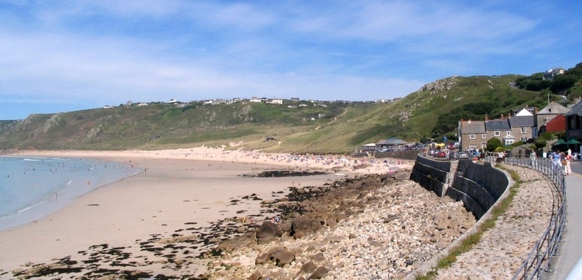
06.06.2006. Sennen Cove is the south end of a wide sandy beach which fronts Whitesand Bay. The beach is popular with holdaymakers and surfers.
Looking west over Sennen Cove and the off-lying reef, at low tide. 2004.
View north from Sennen Cove to Cape Cornwall. 2004.
Sennen Cove is the most westerly seaside resort in England, so its pubs can now claim to be the first in England,
despite the claim of an older pub, up the hill and just inland near Sennen church (although there's not much in it!):
despite the claim of an older pub, up the hill and just inland near Sennen church (although there's not much in it!):
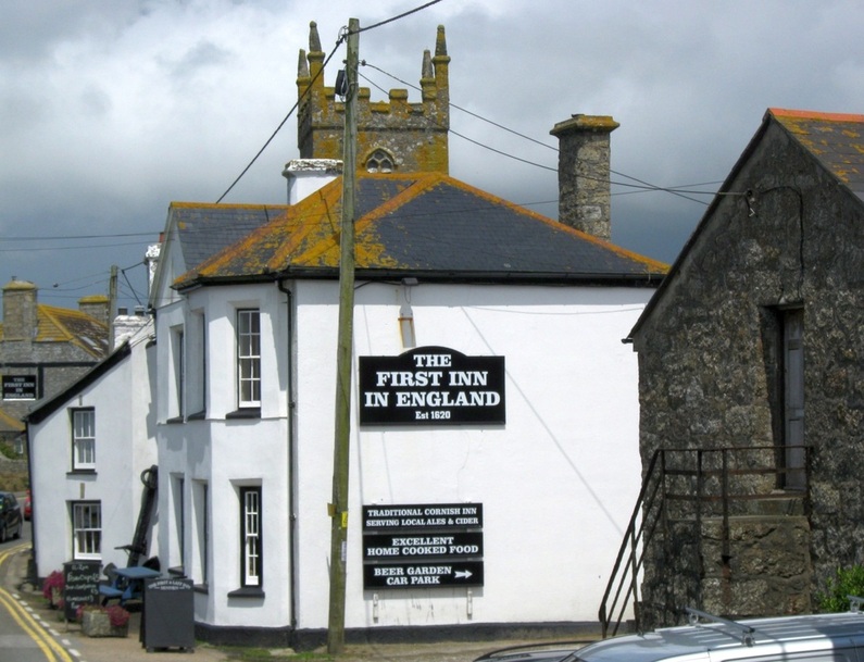
16.06.2006. The First and Last Inn at Sennen is linked to stories of smuggling and wrecking. (Click image for details.)
About 4 miles north of Sennen Cove is Cape Cornwall. From there, this is the view to the south:
L to R: Whitesand Bay, Sennen Cove, and Lands End. 12.06.2005.
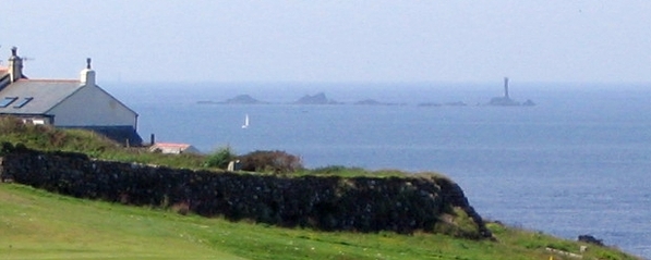
The reverse view, from Lands End, shows the distinctive shape of Cape Cornwall, and the offlying rocky islets called The Brisons.

The Brisons lie about a mile SW of Cape Cornwall. 06.06.2006.
The Brisons are seen to the left of the road from the town of St Just to Cape Cornwall.
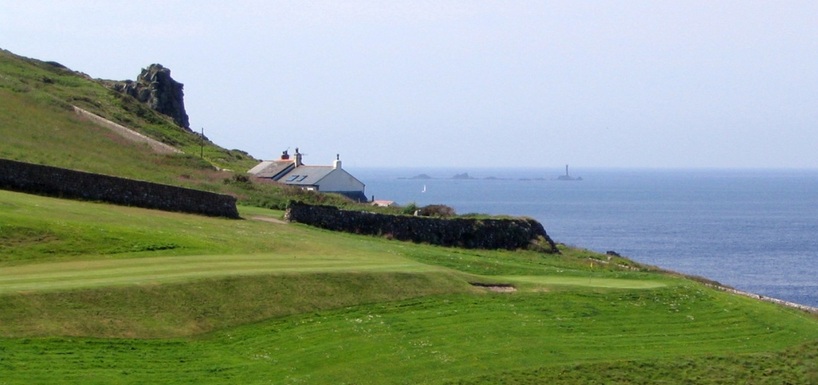
A zoomed view to the south, over part of the golf course, shows the Longships lighthouse, off Lands End. 08.06.2005.
Longships - detail from previous photo.
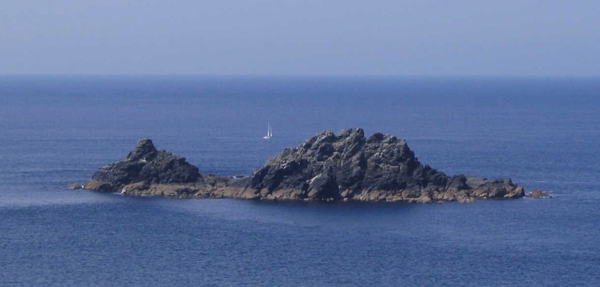
In light winds, a yacht heads north past the Brisons.
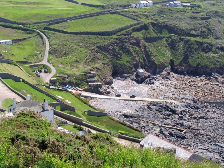
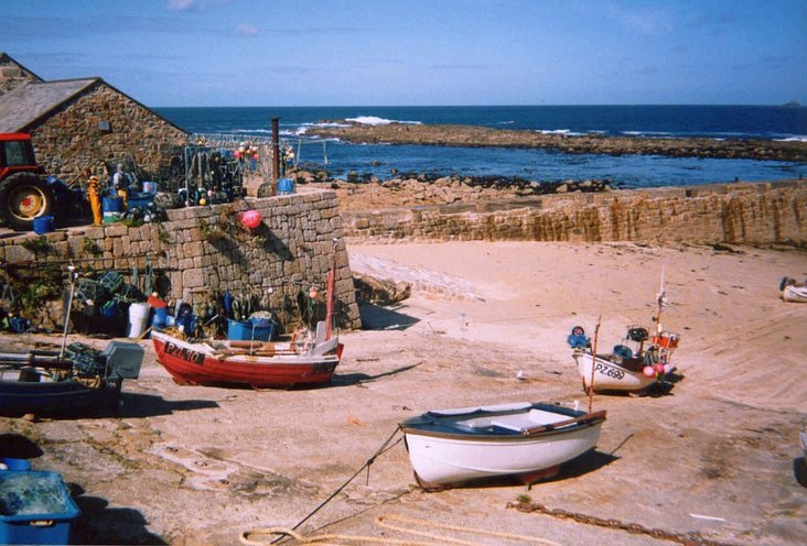
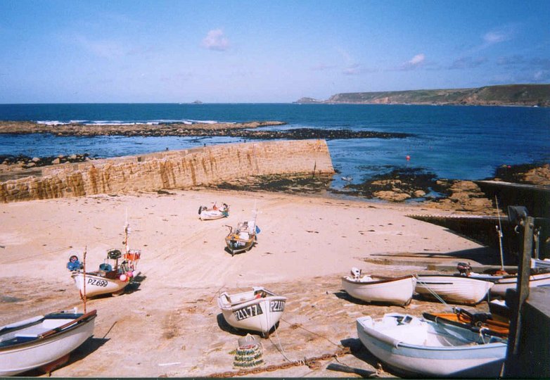
Priest's Cove, just south of Cape Cornwall, provides access to the sea for small craft - in good weather...
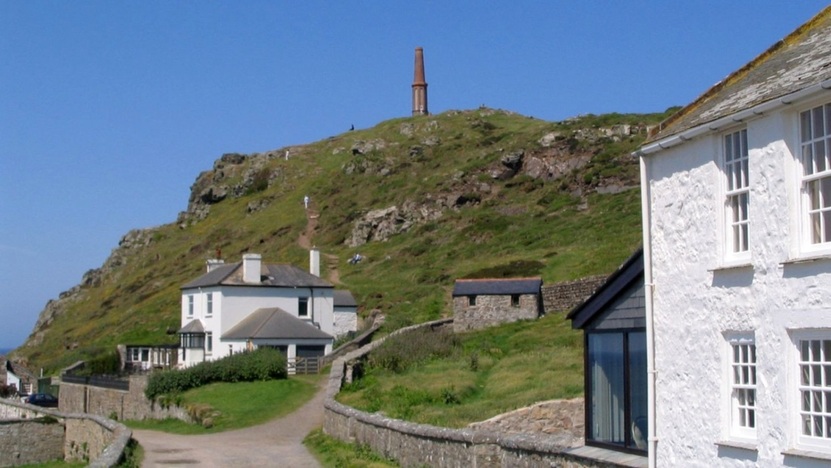
Cape Cornwall and the footpath up to the chimney. (Click image for more info.) 12.06.2005.
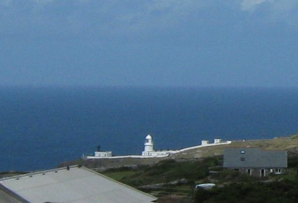
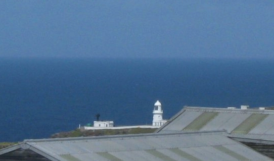
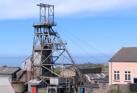
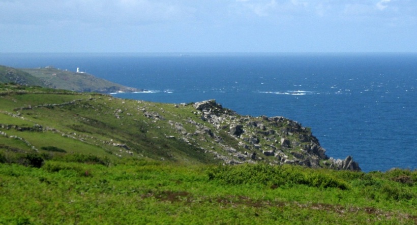
Following the coast further, there are no harbours or sandy coves to be found. The next significant headland is Pendeen, with its lighthouse (LH). These two pictures (16.06.2011.) were taken from the vicinity of Geevor Mine, now a museum and heritage centre, which is about three miles to the south of the LH. In the third picture (04.06.2006.), of the mine headgear, the LH can be glimpsed through the headgear itself!
|
|
Pendeen LH seen from the east. The broken water, right, is caused by a reef called The Wra.
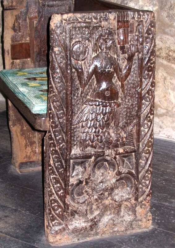
The Zennor Mermaid
Legend says that a mysterious and beautiful lady used to attend Church in the tiny hamlet of Zennor. But one day she and Mathey Trewella, "the best singer in the parish" disappeared, and neither were ever seen again. Some time later, a ship anchored off Pendour Cove, below Zennor, and a mermaid appeared. She asked them to raise their anchor, as it was blocking her door. On hearing this the villagers decided that the mermaid was none other than the mysterious lady who had disappeared, and to commemorate the tale a mermaid was carved into a pew of the church.
For a fuller version of the story, click the image below. (Photos: 26.05.2007.)
For a fuller version of the story, click the image below. (Photos: 26.05.2007.)
|
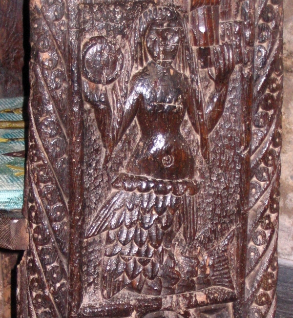
The mermaid holds a glass (mirror) and a comb.
|
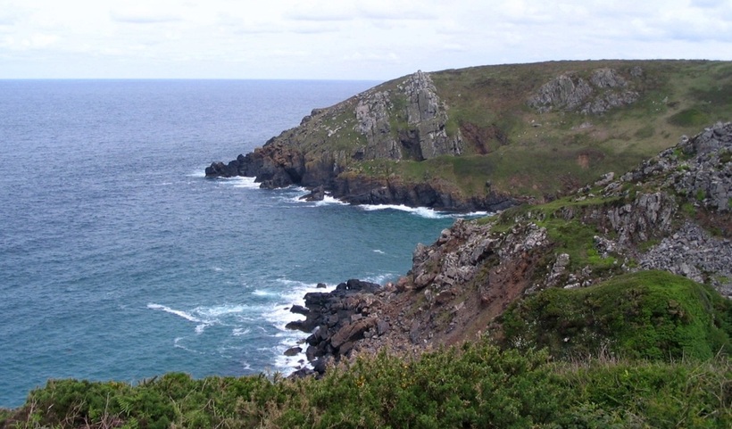
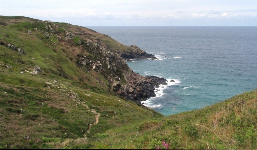
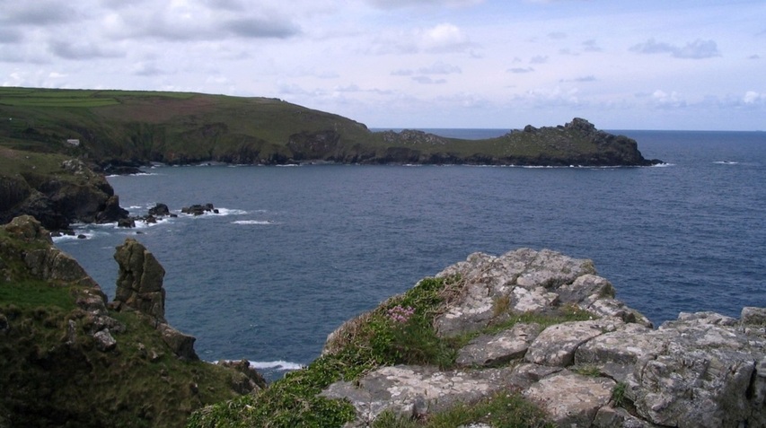
Pendour Cove - the Mermaid's home? - is about half a mile NW of Zennor, and faces NW.
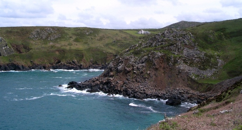
Another angle on Pendour Cove, and, closer, Veor Cove.
This NW part of the coast is very harsh, with no harbours; there are only dangerous headlands separated by stoney coves.
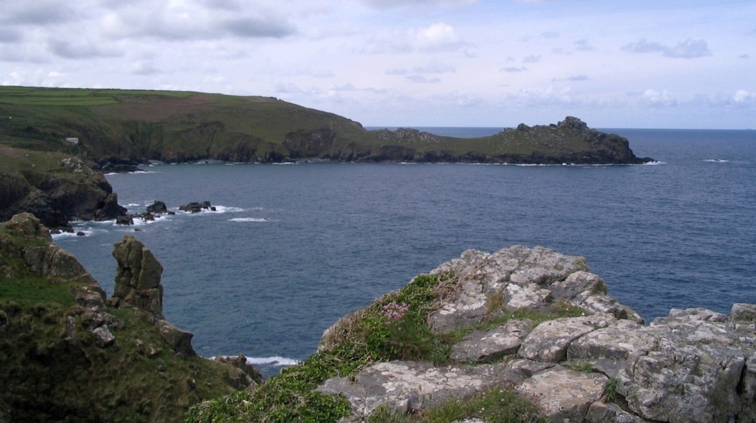
First zoomed view west from above Pendour Cove. Two un-named headlands enclose Veor Cove.
The same two headlands appear in the next view, which shows the coastal footpath that leads west along the cliffs.
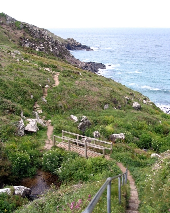
The footbridge crosses the stream that flows near Zennor, and then down into Pendour cove,
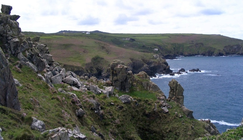
Still more rocky headlands, but the next major headland to the west is Gurnards Head.

|
|
Gurnards Head.
