Truro River (part 1)
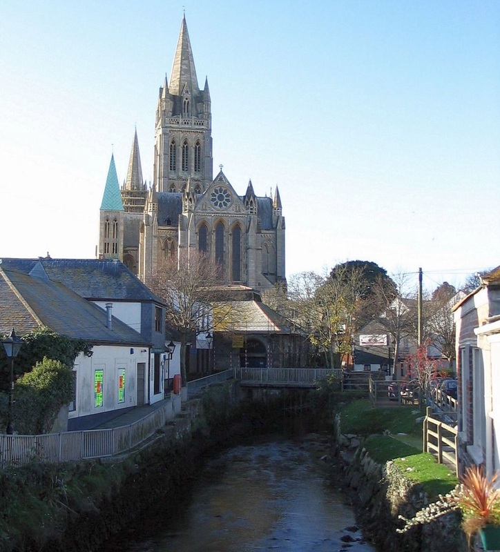
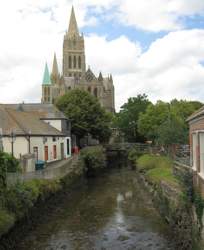
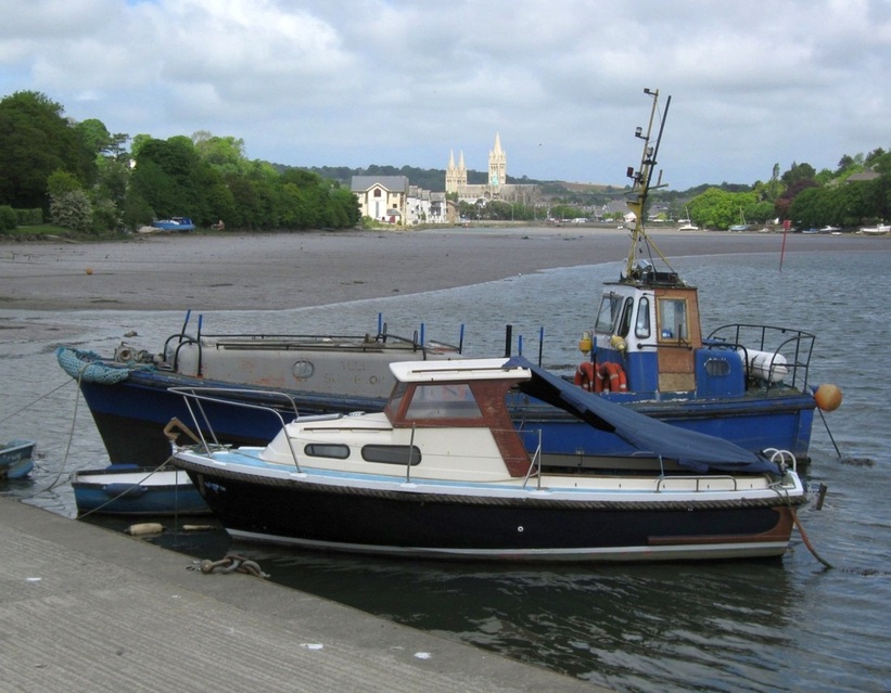
Two rivers meet in the city of Truro to form the Truro River. The Kenwyn comes in from the west, while the Allen comes down from the north. They come in either side of the Harbour Master's Office and meet just past it. The Truro River, which mostly dries out at low tide, flows down stream for about 4 miles until it joins the River Fal. Truro is the head of navigation in this part of the harbour, and pleasure boats from Falmouth travel up there at high tide.
26.11.2005.
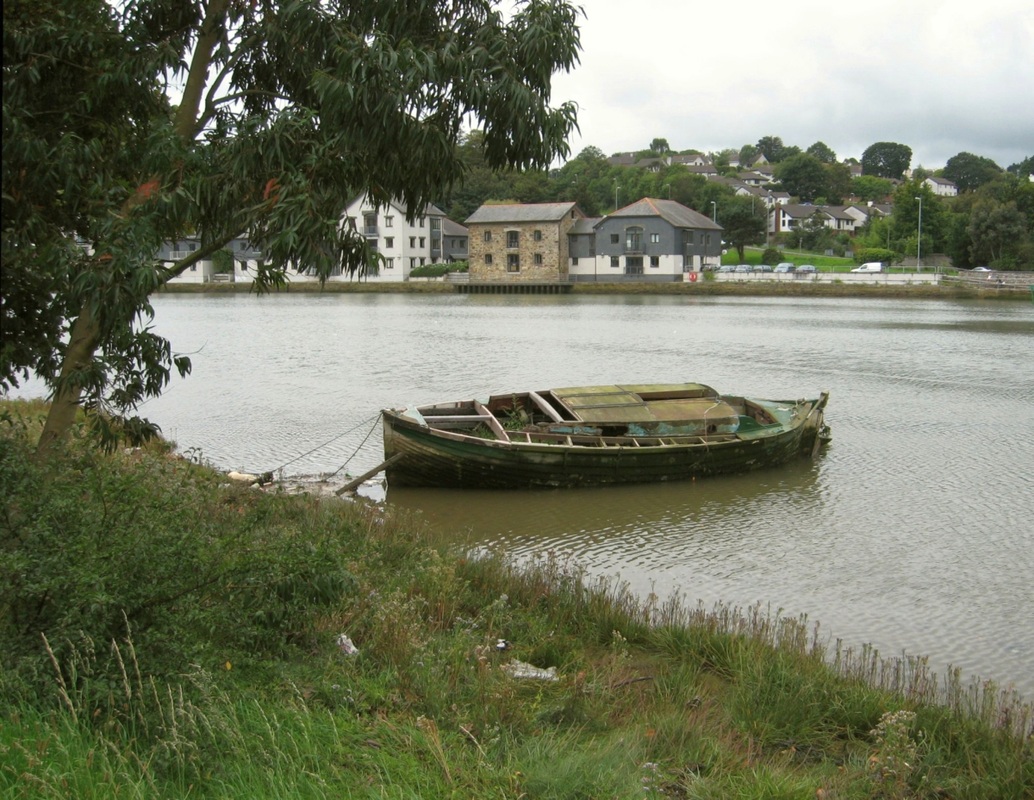
Here, the River Kenwyn (nearest) is joined by the River Allen (on the far side) to form the Truro River.
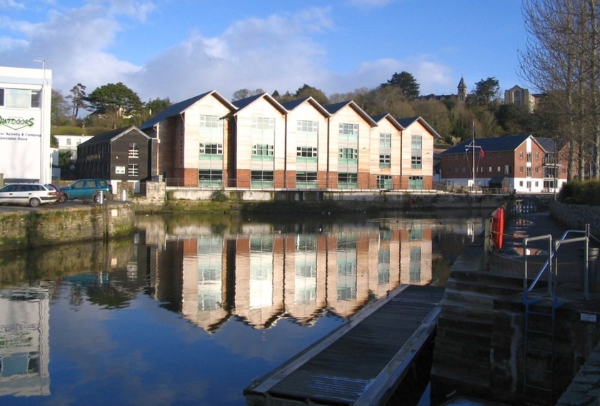
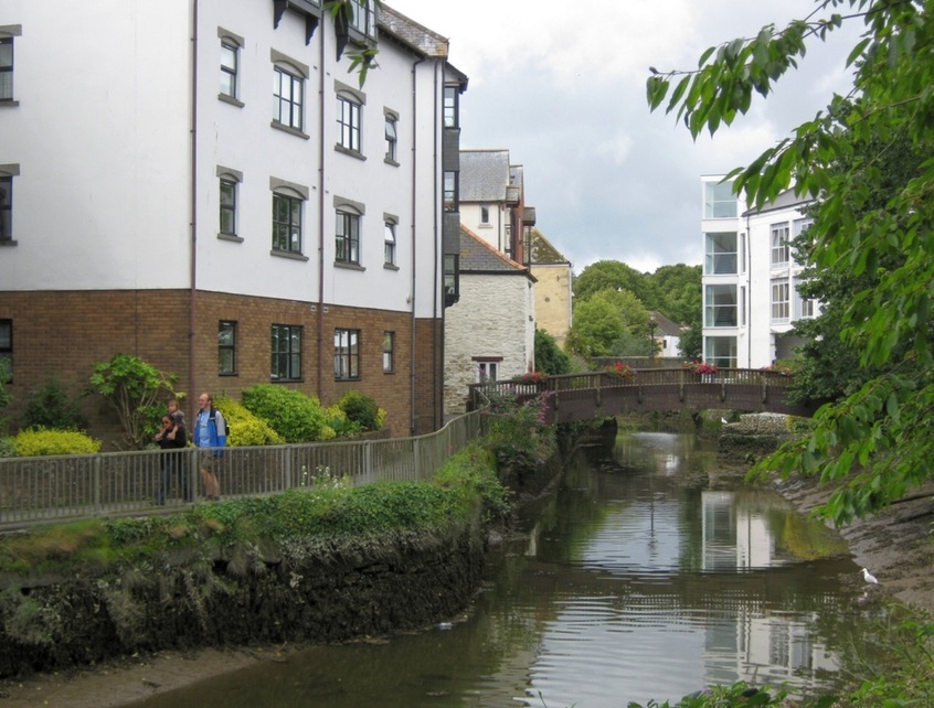
Derelict industrial buildings on the east side of the river have been redeveloped in recent years. Compare the photo above with this one from 1997:
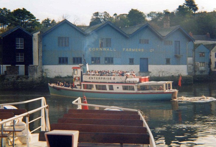
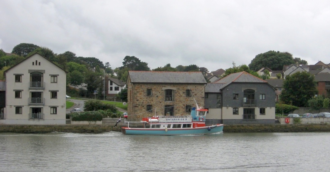
Pleasure boat Enterprise II starts to turn down river after backing out from Worth Quay. 1997.
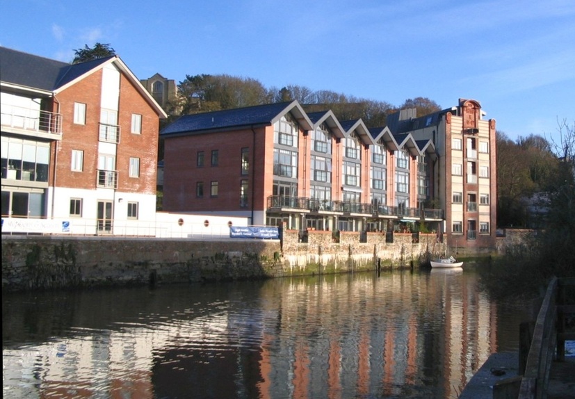
The buildings on the east bank were mostly derelict warehouses...
|
..until developers remade them into luxury homes and offices.
|
20.05.2011.
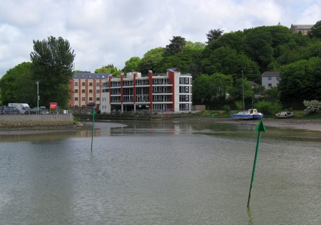
View from Malpas Road on the east bank. The channel has swung away from the west bank towards this one.
02.02.2008.
Another view from Malpas Road on the east bank, but further south.
01.06.2008.
Here the channel swings west towards Newham Quay. In the corner next to Boscowan Park is a houseboat converted from a Breton fishing boat.
____________________________________________
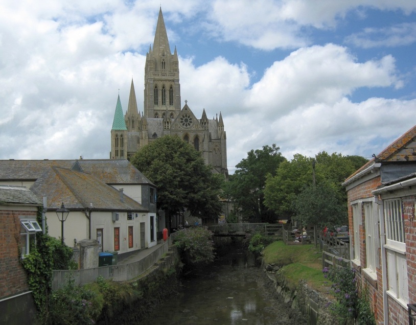
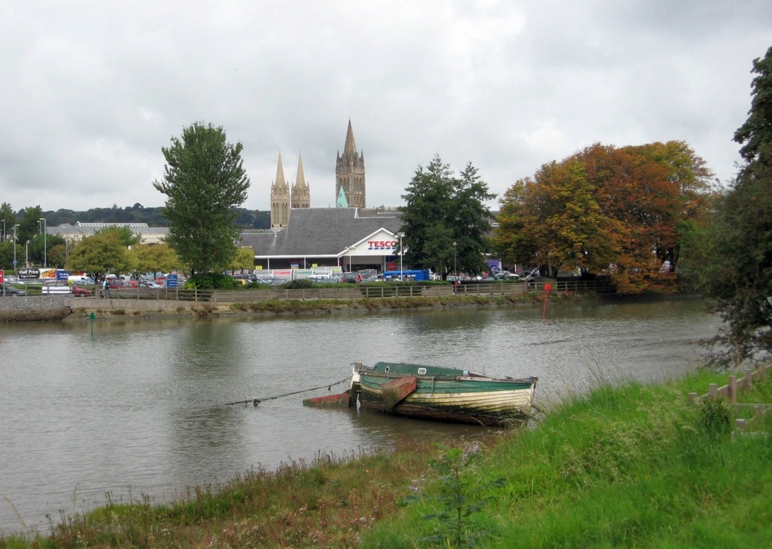
Before we explore Newham Quay, Truro's port, we'll return to the city itself for a look at the headwaters.
Before we explore Newham Quay, Truro's port, we'll return to the city itself for a look at the headwaters.
This is the River Kenwyn, flowing out from under the bridge carrying Morlaix Avenue. 1997.
Just NW of the Harbourmaster's Office, The Kenwyn and the Allen are bridged by Morlaix Avenue, which effectively blocks further navigation. All the more surprising, then, on the short section of the Kenwyn that hasn't been built over, to find a paddle steamer! The Compton Castle is an old steamer from the River Dart - her full story is told at the link. She arrived in Truro in 1982.
Compton Castle by night, December 2004.
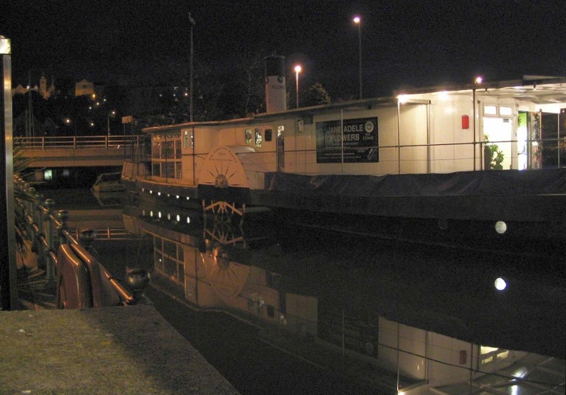
It's high water, creating attractive reflections. Morlaix Avenue runs across the bridge just astern, while ahead... (see next picture)
28.09.2005.
This plaza replaced a car park, which was built over the River Kenwyn in the 1920s; this area was once Truro's port.
Ships could berth at the quays either side, Lemon Quay (far side) and Back Quay. Just west of here
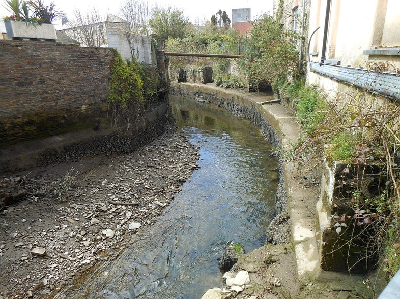
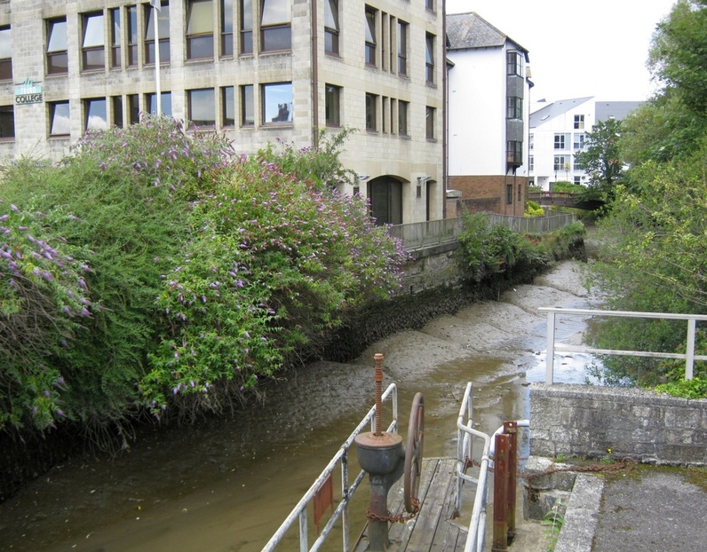
(to the right) a Truro back alley gives a glimpse of the river Kenwyn near its tidal limit (12.04.13.):
(to the right) a Truro back alley gives a glimpse of the river Kenwyn near its tidal limit (12.04.13.):
River Allen meets the Kenwyn, at low tide. December 2004.
On the other side of Morlaix Avenue, the Allen penetrates further into the city. (05.07.11.)
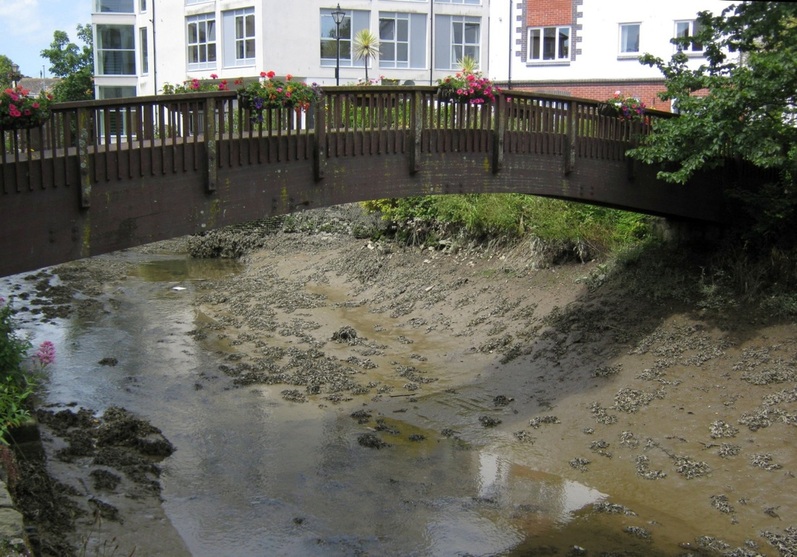
A flower-decked footbridge crosses it. (05.07.2011.)
Summer in the city. Footpath, and footbridge over the River Allen. (08.07.2011.)
View from New Bridge Street. 05.07.2011.
September 2005 ??
|
05.07.11.
|
Having looked at the headwaters, let's now continue down the Truro River (picture dates 01.09.2007, except where noted):
Opposite the renovated warehouses seen earlier is Garras Wharf
|
The view south from Garras Wharf to the Newham flood gates. 26.11.2005.
|
Water everywhere at high tide...
|
...but the channel runs close to the west bank, by Newham Road.
|
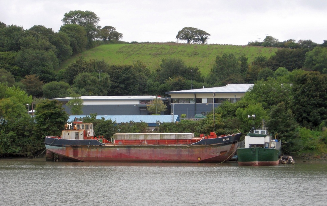
Laid-up suction dredger Diction used to gather calcified seaweed for fertiliser
|
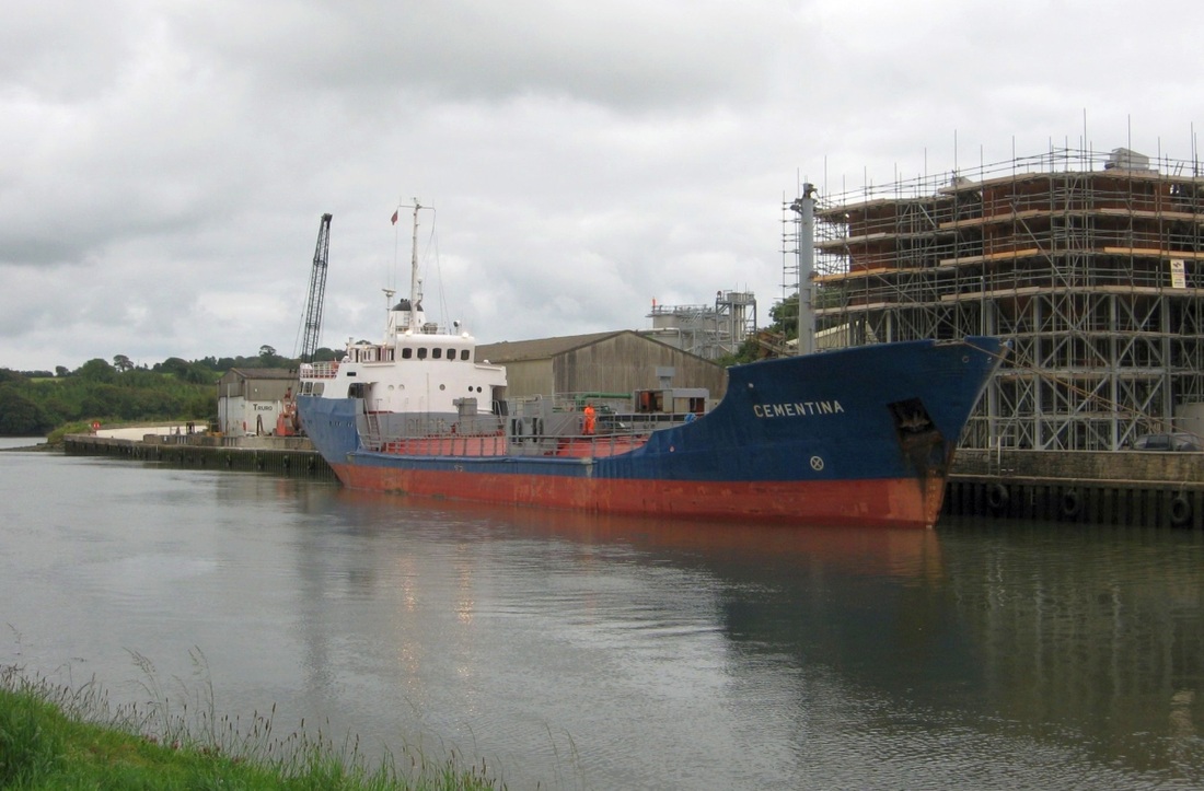
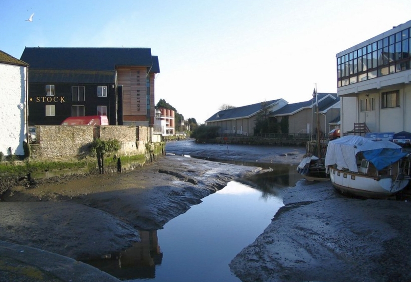
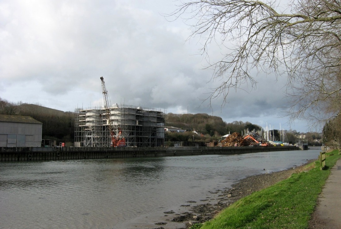
Small sea-going ships can make it upriver as far as Newham Quay.
|
Another view of Newham Quay. Flood gates at north end. 02.02.2008.
|
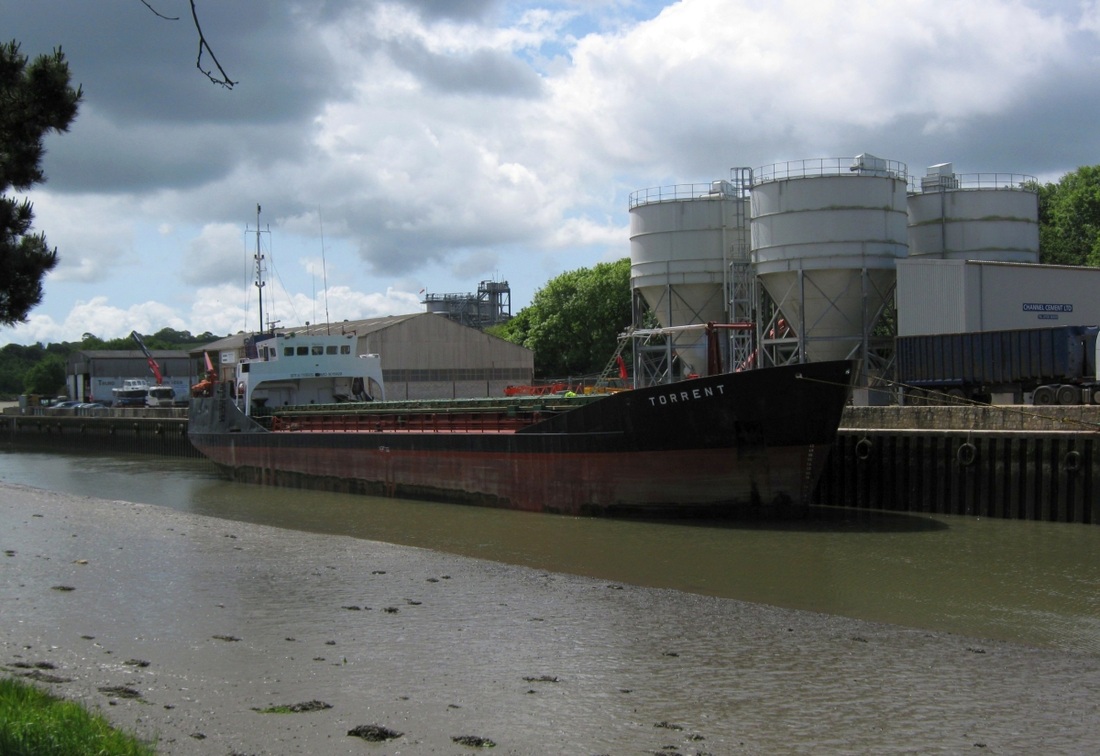
Channel Cement hoppers completed. 20.05.2011.
|
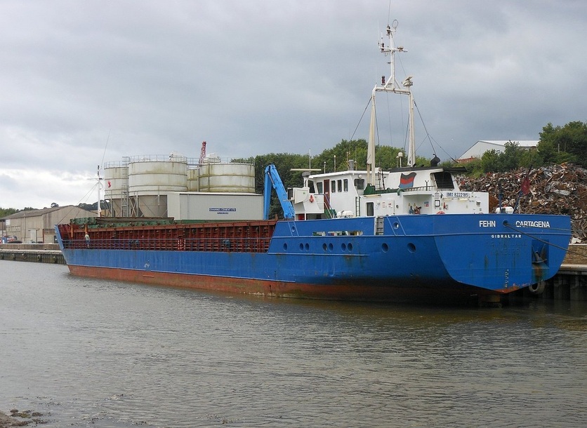
Fehn Cartagena prepares to sail as the tide rises. 23.07.2013
Flood Gates at Newham, 09.03.2008.
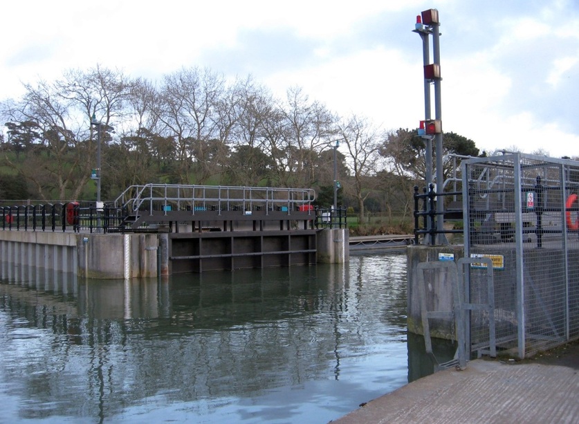
These shut when big tides are due, and/or before forecast heavy rain. This keeps the tide out of Truro, and rain freely drains into the empty river.
12.05.2011.
From just north of the flood gates we get this view back to the city.
The marked channel has a double bend at Garras Wharf.
|
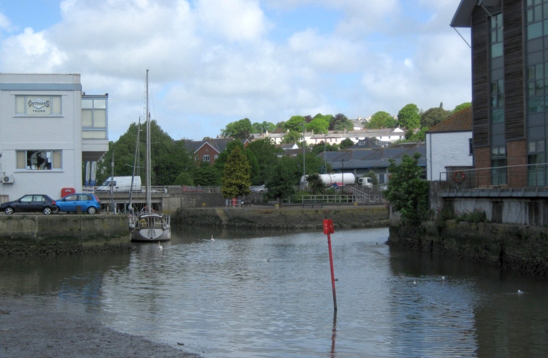
The ferries land passenges at the steps on Worth Quay (centre).
|
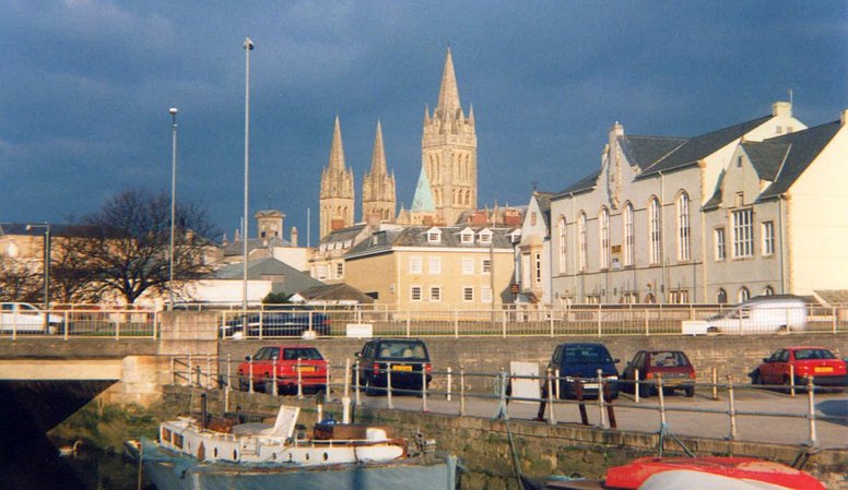
So we're back where we started, where the Kenwyn and the Allen meet to form the Truro River. To explore below Newham Quay, press Next Page.
